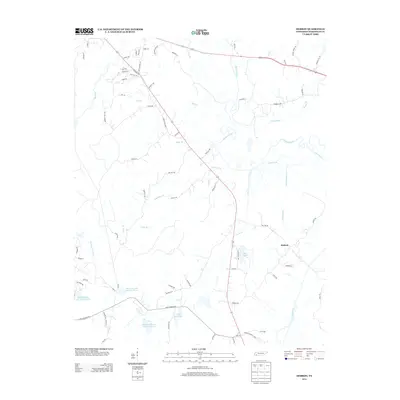
2013 Map of Hebron
USGS Topo · Published 2013About this map
The Hatchie River meanders through this Hardeman County landscape, creating a broad, low-lying drainage system defined by numerous tributaries and oxbow formations. In the early 21st century, this rural corridor southeast of Bolivar shows a transition from traditional agricultural patterns to established recreational and residential water features. The settlement of Hebron serves as a central reference point in an area increasingly defined by significant man-made impoundments like Lake Hardeman and the series of reservoirs including Grand Valley Lake Number Two and Cub Creek Lake Number Three. A dense network of local roads, such as Munford Rd and Hatchie Way, provides access to the smaller creeks that feed the main river, including the ominously named Deadman Br and Welcome Ussery Cr. This topography reflects the typical West Tennessee river bottomland, where drainage and water management have long influenced local settlement and land use.
Find a feature on this map
76 named features on this map. Tap any name to fly to it.
Don’t see what you’re looking for? This feature index may not catch every label — zoom into the map to look around manually.
Map Details
Editions of this 2013 Hebron Map
This is the sole edition of this map. No revisions or reprints were ever made.
Other maps of this area

1950 · Pocahontas
USGS Topo · 1:24,000

1950 · Hebron
USGS Topo · 1:24,000

1950 · Hornsby
USGS Topo · 1:24,000

1950 · Middleburg
USGS Topo · 1:24,000

1950 · Middleton
USGS Topo · 1:24,000

1951 · Middleton
USGS Topo · 1:24,000

1951 · Middleburg
USGS Topo · 1:24,000

1951 · Hebron
USGS Topo · 1:24,000

1951 · Hornsby
USGS Topo · 1:24,000

1952 · Pocahontas
USGS Topo · 1:24,000