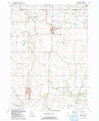
1992 Map of Hebron
USGS Topo · Published 1992About this map
Hebron serves as the central hub of this agricultural and wetland landscape straddling the State Line between Illinois and Wisconsin. The township is defined by the winding course of Nippersink Creek and a network of rural roads such as Vander Karr Road and Thayer Road. Local education and community life are anchored by the Alden-Hebron High Sch, while the transportation history of the region is visible in the Old Railroad Grade passing through the north.
Find a feature on this map
50 named features on this map. Tap any name to fly to it.
Don’t see what you’re looking for? This feature index may not catch every label — zoom into the map to look around manually.
Map Details
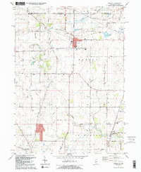
Editions of this 1992 Hebron Map
2 editions found
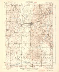
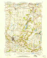
Other maps of this area

1893 · Delavan
USGS Topo · 1:62,500

1893 · Geneva
USGS Topo · 1:62,500

1904 · Lake Geneva
USGS Topo · 1:62,500

1906 · Lake Geneva
USGS Topo · 1:62,500

1926 · Mc Henry
USGS Topo · 1:62,500

1932 · Harvard
USGS Topo · 1:48,000
1937 · Harvard
USGS Topo · 1:62,500
1944 · McHenry
USGS Topo · 1:62,500

1954 · Rockford
USGS Topo · 1:250,000

1955 · Rockford
USGS Topo · 1:250,000