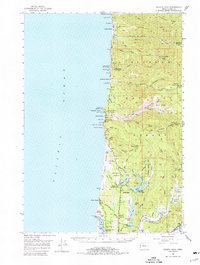
1956 Map of Heceta Head
USGS Topo · Published 1977About this map
The Heceta Head Lighthouse stands as a primary landmark along the central Oregon coast, marking a dramatic landscape of sea caves and shifting sands. This mid-century survey captures the region as development began to touch the shoreline through the Coast Highway, connecting small coastal communities like Searose Beach and Roosevelt Beach. The interior is dominated by the dense timberlands of the Siuslaw National Forest, where high points such as Herman Peak and Fairview Mtn overlook a complex network of drainages including Tenmile Creek and Big Creek.
Find a feature on this map
86 named features on this map. Tap any name to fly to it.
Don’t see what you’re looking for? This feature index may not catch every label — zoom into the map to look around manually.
Map Details
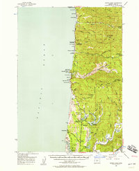
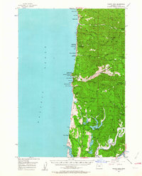
Editions of this 1956 Heceta Head Map
3 editions found
Other maps of this area

1918 · Mapleton
USGS Topo · 1:48,000

1919 · Earl
USGS Topo · 1:48,000

1920 · Siltcoos Lake
USGS Topo · 1:62,500

1920 · Heceta Head
USGS Topo · 1:62,500

1922 · Waldport
USGS Topo · 1:62,500

1940 · Mapleton
USGS Topo · 1:62,500

1941 · Siltcoos Lake
USGS Topo · 1:62,500

1942 · Waldport
USGS Topo · 1:62,500

1942 · Heceta Head
USGS Topo · 1:62,500

1942 · Siltcoos Lake
USGS Topo · 1:62,500