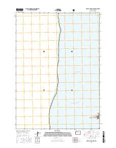
2017 Map of Heceta Head OE W
USGS Topo · Published 2017About this map
The Pacific Ocean dominates this coastal survey, where the rugged maritime boundary of Oregon Lane Co meets the surf. Much of the terrestrial portion of the map is dedicated to conservation and public lands, including the southern reaches of the Siuslaw National Forest and the Oregon Islands National Wildlife Refuge. These protected areas manage the transition from the deep waters to the shoreline cliffs.
Find a feature on this map
7 named features on this map. Tap any name to fly to it.
Don’t see what you’re looking for? This feature index may not catch every label — zoom into the map to look around manually.
Map Details
Editions of this 2017 Heceta Head OE W Map
This is the sole edition of this map. No revisions or reprints were ever made.
Other maps of this area

1920 · Heceta Head
USGS Topo · 1:62,500

1922 · Waldport
USGS Topo · 1:62,500

1942 · Waldport
USGS Topo · 1:62,500

1942 · Heceta Head
USGS Topo · 1:62,500

1953 · Salem
USGS Topo · 1:250,000

1954 · Salem
USGS Topo · 1:250,000
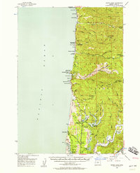
1956 · Heceta Head
USGS Topo · 1:62,500

1956 · Waldport
USGS Topo · 1:62,500

1960 · Salem
USGS Topo · 1:250,000

1962 · Salem
USGS Topo · 1:250,000