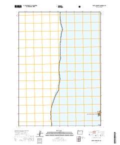
2020 Map of Heceta Head OE W
USGS Topo · Published 2020About this map
Pacific Ocean waters dominate this coastal survey, where the rugged Oregon shoreline meets the sea at the very southeastern corner of the map. Heceta Head stands as the primary landmark, marking a point of transition where the land rises into the managed wilderness of the Siuslaw National Forest. This 2020 edition provides a clear record of protected areas along the Lane County coast, including the scattered outcroppings of the Oregon Islands National Wildlife Refuge. Nearby, Conical Rock sits just offshore, while Cape Cove provides a distinct indentation in the shoreline. The map focuses almost entirely on the marine environment, with only a small fragment of the mainland's forested topography visible at the margin, illustrating the proximity of these federal conservation lands to the open ocean.
Find a feature on this map
7 named features on this map. Tap any name to fly to it.
Don’t see what you’re looking for? This feature index may not catch every label — zoom into the map to look around manually.
Map Details
Editions of this 2020 Heceta Head OE W Map
This is the sole edition of this map. No revisions or reprints were ever made.
Other maps of this area

1920 · Heceta Head
USGS Topo · 1:62,500

1922 · Waldport
USGS Topo · 1:62,500

1942 · Waldport
USGS Topo · 1:62,500

1942 · Heceta Head
USGS Topo · 1:62,500

1953 · Salem
USGS Topo · 1:250,000

1954 · Salem
USGS Topo · 1:250,000
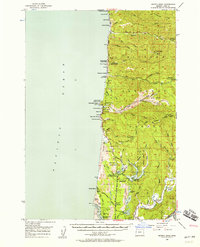
1956 · Heceta Head
USGS Topo · 1:62,500

1956 · Waldport
USGS Topo · 1:62,500

1960 · Salem
USGS Topo · 1:250,000

1962 · Salem
USGS Topo · 1:250,000