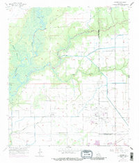
1956 Map of Hecker
USGS Topo · Published 1986About this map
The Calcasieu River defines the western edge of this landscape, its winding course giving way to the complex hydrology of Stackpole Island and Serpent Bayou. This mid-century survey captures a transition between the wilder bayous and the engineered wetlands required for agriculture and industry. The Louisiana Irrigation Canal and Jones Canal cut straight lines across the terrain, servicing the surrounding fields while bypassing the smaller settlements of Hecker and Le Bleu. Industrial activity is centered on the expansive Iowa Oil and Gas Field in the southeast, where numerous wells and pumping stations dot the map. A notable local landmark, the Drag Strip, sits near the Calcasieu and Jefferson Davis Parish line, alongside more traditional sites like La France Cem.
Find a feature on this map
24 named features on this map. Tap any name to fly to it.
Don’t see what you’re looking for? This feature index may not catch every label — zoom into the map to look around manually.
Map Details
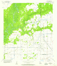
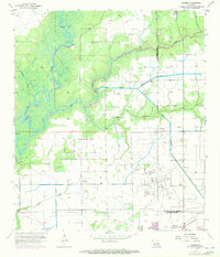
Editions of this 1956 Hecker Map
3 editions found
Other maps of this area

1932 · Lake Charles NE
USGS Topo · 1:31,680

1932 · Lake Charles NW
USGS Topo · 1:31,680

1935 · Moss Bluff
USGS Topo · 1:31,680

1935 · Gaytine
USGS Topo · 1:31,680

1942 · Lake Charles
USGS Topo · 1:62,500

1946 · Lacassine
USGS Topo · 1:31,680

1947 · Gaytine
USGS Topo · 1:31,680

1947 · Fenton
USGS Topo · 1:31,680

1947 · Moss Bluff
USGS Topo · 1:31,680

1947 · Hecker
USGS Topo · 1:31,680