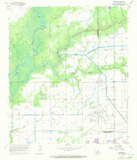
1956 Map of Hecker
USGS Topo · Published 1971About this map
The Calcasieu River winds through this southwestern Louisiana landscape, defining a terrain shaped by both natural waterways and mid-century industrial development. Along the river's path, local landmarks like Stackpole Island and Point Fine appear alongside the intricate meanders of Serpent Bayou and Blackman Bayou. The settlement of Hecker and the neighborhood of Le Bleu anchor the residential geography, while the presence of Hebert Cem and La France Cem provides specific points of interest for genealogists tracing local family histories.
Find a feature on this map
23 named features on this map. Tap any name to fly to it.
Don’t see what you’re looking for? This feature index may not catch every label — zoom into the map to look around manually.
Map Details
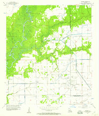
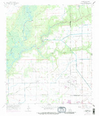
Editions of this 1956 Hecker Map
3 editions found
Other maps of this area

1932 · Lake Charles NE
USGS Topo · 1:31,680

1932 · Lake Charles NW
USGS Topo · 1:31,680

1935 · Moss Bluff
USGS Topo · 1:31,680

1935 · Gaytine
USGS Topo · 1:31,680

1942 · Lake Charles
USGS Topo · 1:62,500

1946 · Lacassine
USGS Topo · 1:31,680

1947 · Gaytine
USGS Topo · 1:31,680

1947 · Fenton
USGS Topo · 1:31,680

1947 · Moss Bluff
USGS Topo · 1:31,680

1947 · Hecker
USGS Topo · 1:31,680