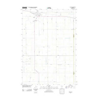
2013 Map of Hector
USGS Topo · Published 2013About this map
Hector serves as the primary hub in this portion of Renville County, situated along the Us-212 corridor and the intersection of MN-4. The landscape is defined by its agricultural character and an extensive hydrological management system, including Judicial Ditch Number Fifteen and County Ditch Number Thirtythree. These artificial and modified waterways, such as High Island Cr, illustrate the coordinated effort to drain the prairie for cultivation. Local heritage is preserved at several sites on the outskirts of the settlement, including the Saint John's Catholic Cem, Hector Cem, and the German Lutheran Cem further south. Modern infrastructure is represented by the Hector Municipal Airport and a dense grid of township roads that partition the countryside into regular sections.
Find a feature on this map
42 named features on this map. Tap any name to fly to it.
Don’t see what you’re looking for? This feature index may not catch every label — zoom into the map to look around manually.
Map Details
Editions of this 2013 Hector Map
This is the sole edition of this map. No revisions or reprints were ever made.
Other maps of this area

1952 · Morton
USGS Topo · 1:62,500

1953 · New Ulm
USGS Topo · 1:250,000

1957 · New Ulm
USGS Topo · 1:250,000

1957 · Olivia
USGS Topo · 1:62,500

1958 · New Ulm
USGS Topo · 1:250,000

1964 · Fairfax
USGS Topo · 1:24,000

1964 · Buffalo Lake
USGS Topo · 1:24,000

1964 · Hector
USGS Topo · 1:24,000

1964 · Gibbon
USGS Topo · 1:24,000

1967 · New Ulm
USGS Topo · 1:250,000