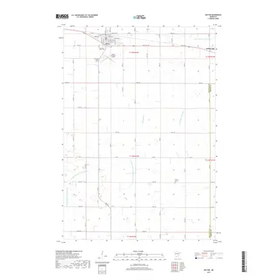
2019 Map of Hector
USGS Topo · Published 2019About this map
The town of Hector and nearby Buffalo Lake anchor this 2019 survey of the Renville County landscape, where the Jefferson Highway's legacy persists in the local grid. The region's agricultural character is etched into the earth by a complex network of man-made waterways, including Judicial Ditch Number Fifteen and County Ditch Number One Hundred Three, which drain the prairie toward High Island Cr. These ditches represent a significant engineering feat, essential for the conversion of wetland into the productive farmland seen today.
Find a feature on this map
36 named features on this map. Tap any name to fly to it.
Don’t see what you’re looking for? This feature index may not catch every label — zoom into the map to look around manually.
Map Details
Editions of this 2019 Hector Map
This is the sole edition of this map. No revisions or reprints were ever made.
Other maps of this area

1952 · Morton
USGS Topo · 1:62,500

1953 · New Ulm
USGS Topo · 1:250,000

1957 · New Ulm
USGS Topo · 1:250,000

1957 · Olivia
USGS Topo · 1:62,500

1958 · New Ulm
USGS Topo · 1:250,000

1964 · Fairfax
USGS Topo · 1:24,000

1964 · Buffalo Lake
USGS Topo · 1:24,000

1964 · Hector
USGS Topo · 1:24,000

1964 · Gibbon
USGS Topo · 1:24,000

1967 · New Ulm
USGS Topo · 1:250,000