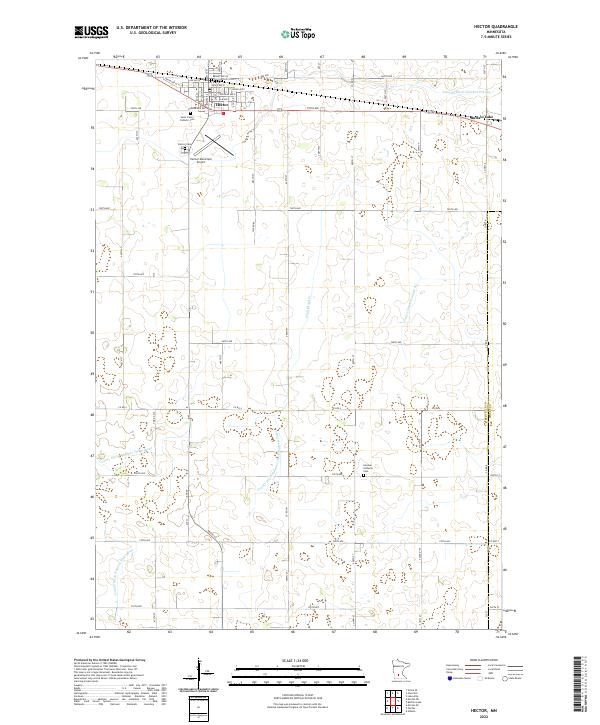
2022 Map of Hector
USGS Topo · Published 2022About this map
Hector serves as the primary hub in this corner of Renville County, where a grid of streets like Ash Ave W and Main St N meets the regional transit corridor. The town's civic and spiritual infrastructure is well-defined by landmarks such as Saint John's Catholic Cem and the nearby Hector Municipal Airport. To the south, the landscape shifts toward a more agrarian character, evidenced by the German Lutheran Cem situated amidst vast agricultural fields.
Find a feature on this map
68 named features on this map. Tap any name to fly to it.
Don’t see what you’re looking for? This feature index may not catch every label — zoom into the map to look around manually.
Map Details
Editions of this 2022 Hector Map
This is the sole edition of this map. No revisions or reprints were ever made.
Other maps of this area

1952 · Morton
USGS Topo · 1:62,500

1953 · New Ulm
USGS Topo · 1:250,000

1957 · New Ulm
USGS Topo · 1:250,000

1957 · Olivia
USGS Topo · 1:62,500

1958 · New Ulm
USGS Topo · 1:250,000

1964 · Fairfax
USGS Topo · 1:24,000

1964 · Buffalo Lake
USGS Topo · 1:24,000

1964 · Hector
USGS Topo · 1:24,000

1964 · Gibbon
USGS Topo · 1:24,000

1967 · New Ulm
USGS Topo · 1:250,000