2024 Map of Hedgesville
USGS Topo · Published 2024About this map
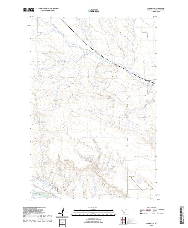
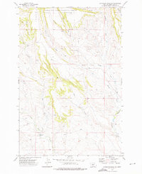
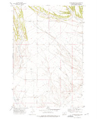
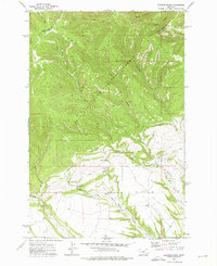
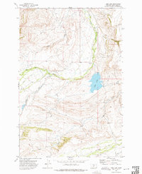
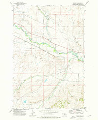
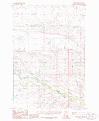
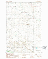
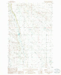
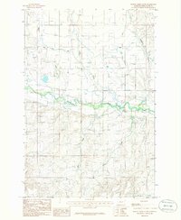
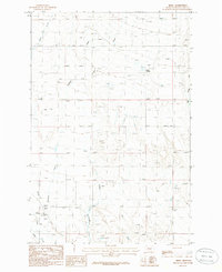
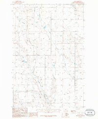
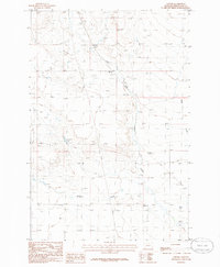
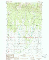
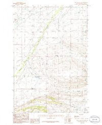
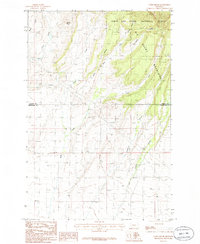
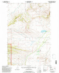
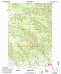
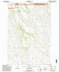
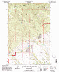
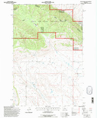
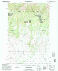
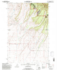
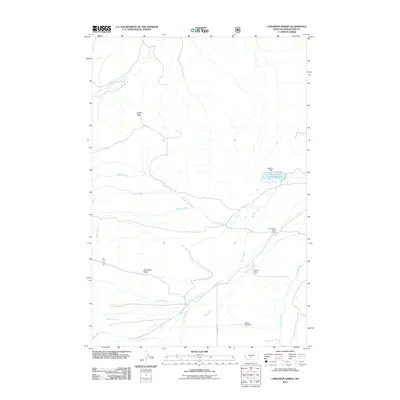
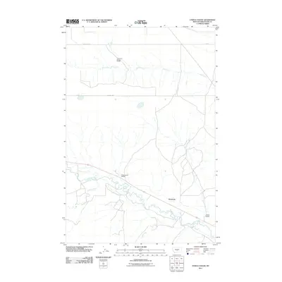
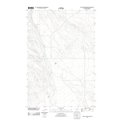
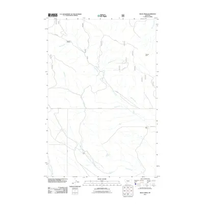
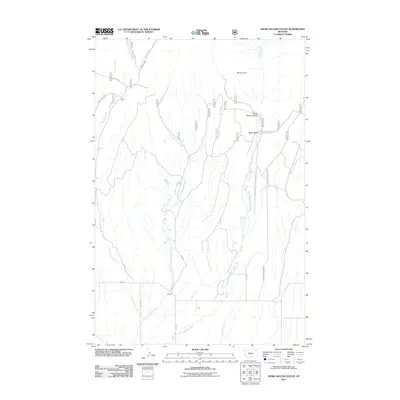
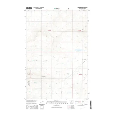
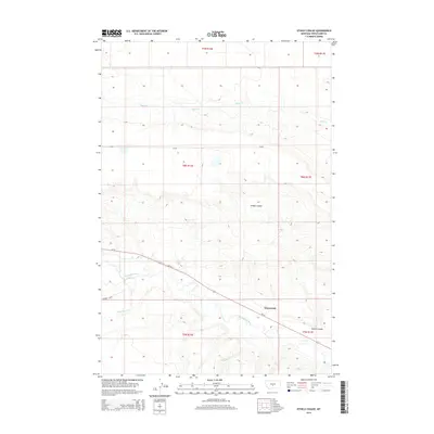
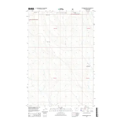
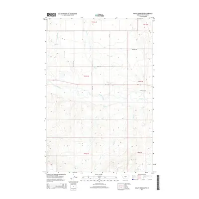
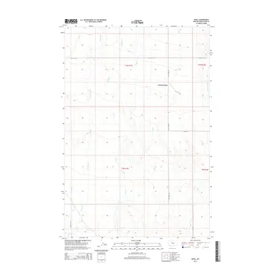
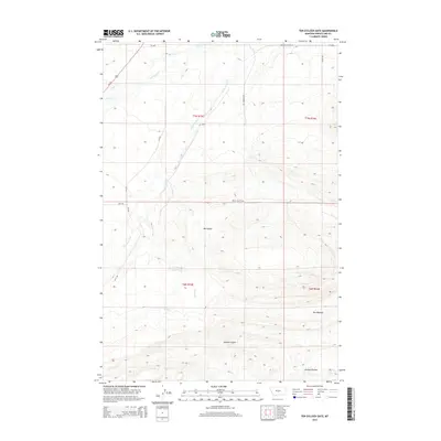
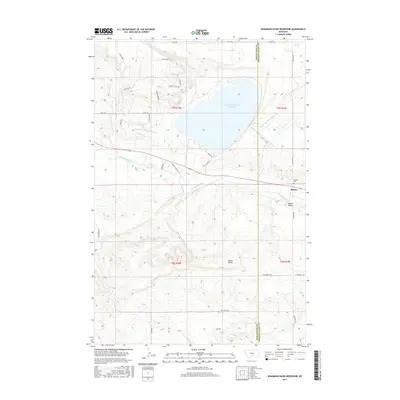
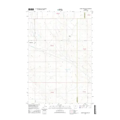
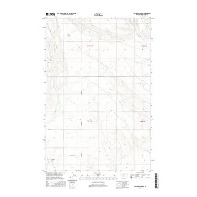
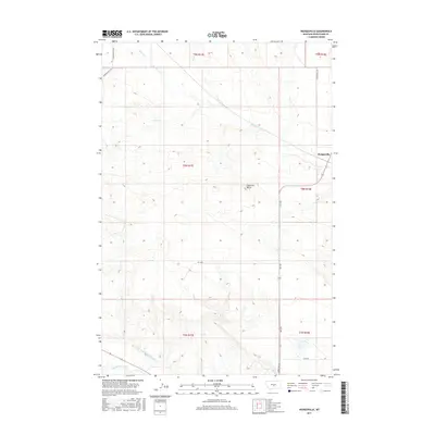
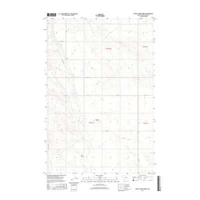
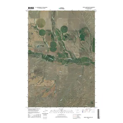
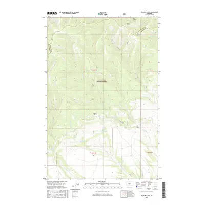
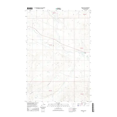
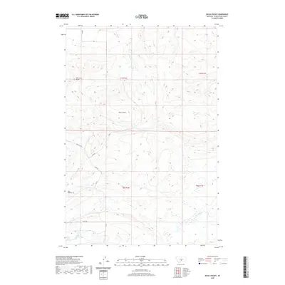
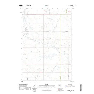
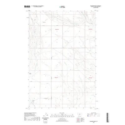
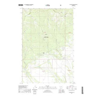
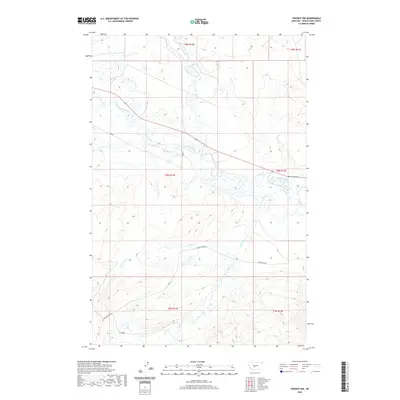
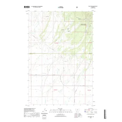
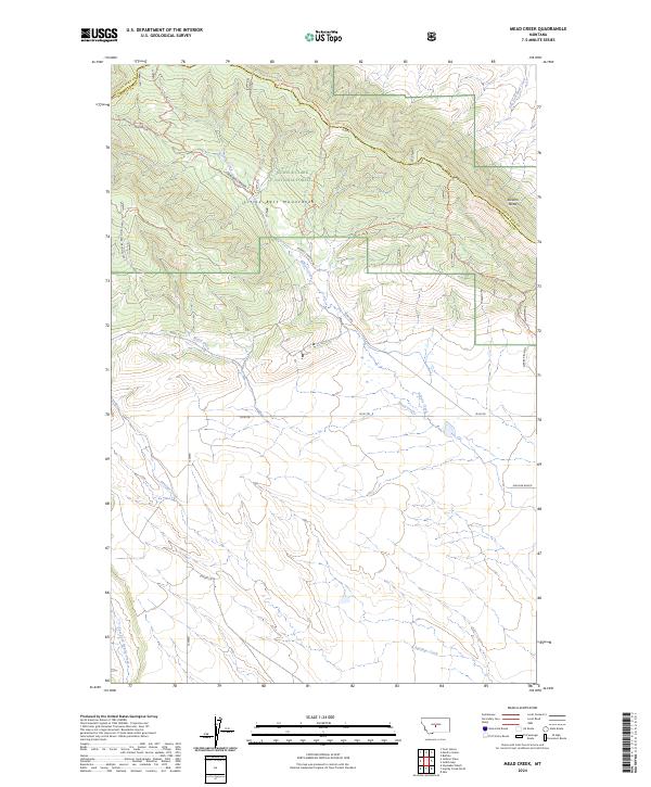
Hedgesville sits on the eastern edge of this Wheatland County landscape, where the prairie begins its transition toward more varied relief. The southern reaches of the map are defined by the winding course of the Musselshell River, which creates a distinct corridor of low-lying terrain compared to the northern uplands. Central to the topography is Haystack Butte, a prominent landmark that rises above the surrounding drainage basins. The area is etched by numerous seasonal watercourses, including Roberts Creek, Alkali Creek, and Blake Creek, which reveal the intricate erosional patterns of the Montana plains. This 2024 survey captures a largely rural expanse structured by long-standing section lines and secondary routes like Lower Nihill Rd and Antelope Rd.
Find a feature on this map
19 named features on this map. Tap any name to fly to it.
Don’t see what you’re looking for? This feature index may not catch every label — zoom into the map to look around manually.
Map Details
Editions of this 2024 Hedgesville Map
This is the sole edition of this map. No revisions or reprints were ever made.
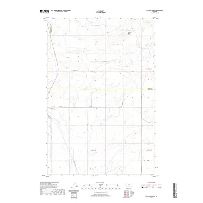
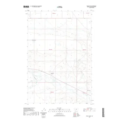
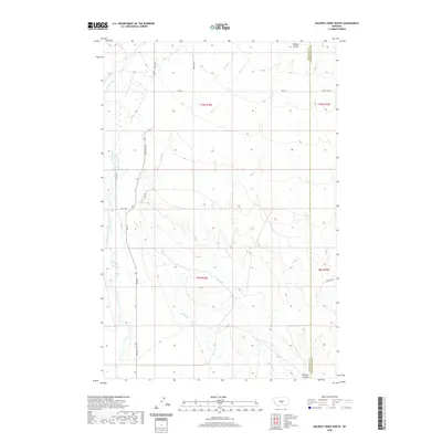
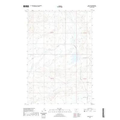
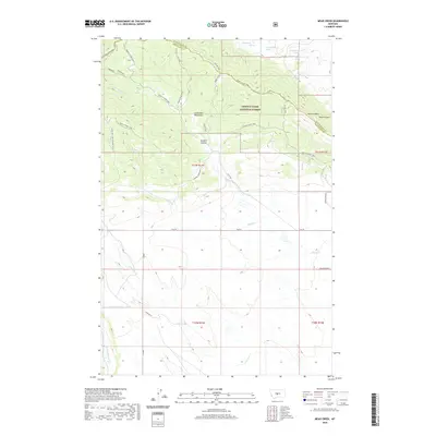
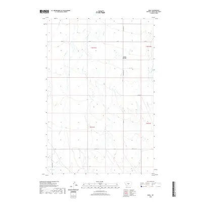
Historical Maps of Hedgesville Through Time
153 maps found

1889 Big Snowy Mountain
Wheatland County, MT
1893 Big Snowy Mountain
Wheatland County, MT
1972 Cinnamon Spring
Wheatland County, MT
1972 Haymaker Narrows
Wheatland County, MT
1972 Haymaker Ranch SW
Wheatland County, MT
1972 Haymaker Ranch
Wheatland County, MT
1972 Jellison Place
Wheatland County, MT
1972 Lebo Lake
Wheatland County, MT
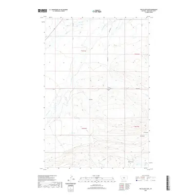
1972 Twodot NW
Wheatland County, MT
1986 Deadmans Basin Reservoir
Wheatland County, MT
1986 Devils Pocket
Wheatland County, MT
1986 Elephant Rocks
Wheatland County, MT
1986 Ethels Coulee
Wheatland County, MT
1986 Halbert Creek North
Wheatland County, MT
1986 Halbert Creek South
Wheatland County, MT
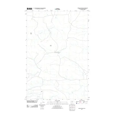
1986 Harlowton SW
Wheatland County, MT
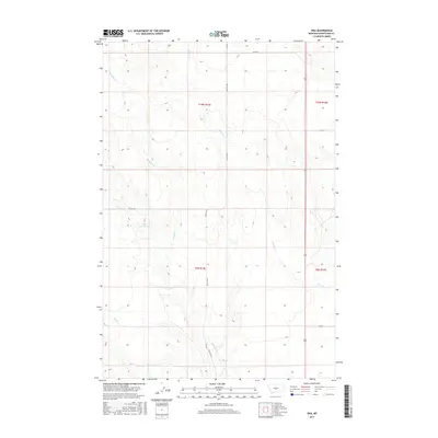
1986 Hedgesville
Wheatland County, MT
1986 Hopley Creek North
Wheatland County, MT
1986 Hopley Creek South
Wheatland County, MT

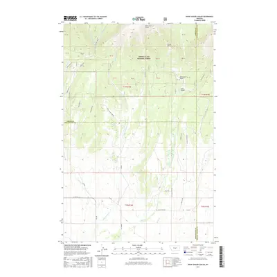
1986 Mead Creek
Wheatland County, MT
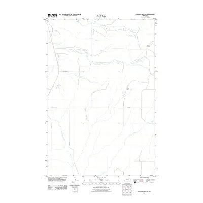
1986 Nihill
Wheatland County, MT
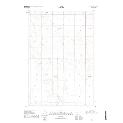
1986 Oka
Wheatland County, MT
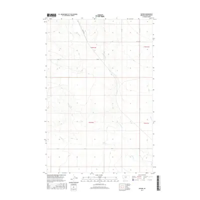
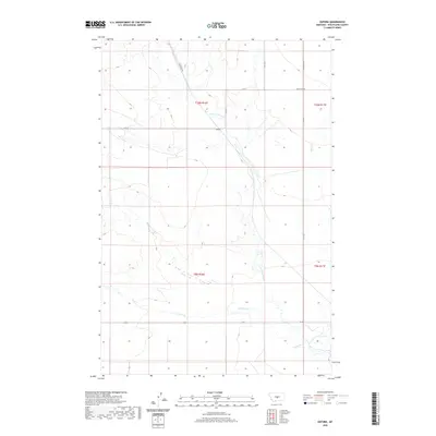
1986 Oxford
Wheatland County, MT
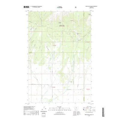
1986 Snow Saucer Coulee
Wheatland County, MT
1986 Ten O'Clock Gate
Wheatland County, MT
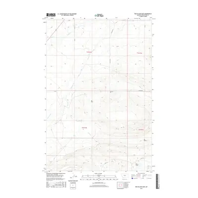
1986 Yaple Bench
Wheatland County, MT
1995 Cinnamon Spring
Wheatland County, MT
1995 Haymaker Narrows
Wheatland County, MT
1995 Haymaker Ranch SW
Wheatland County, MT
1995 Jellison Place
Wheatland County, MT
1995 Mead Creek
Wheatland County, MT
1995 Snow Saucer Coulee
Wheatland County, MT
1995 Yaple Bench
Wheatland County, MT
2011 Cinnamon Spring
Wheatland County, MT
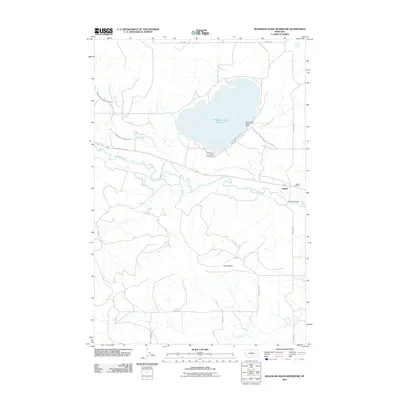
2011 Deadmans Basin Reservoir
Wheatland County, MT
2011 Devils Pocket
Wheatland County, MT
2011 Elephant Rocks
Wheatland County, MT
2011 Ethels Coulee
Wheatland County, MT
2011 Halbert Creek North
Wheatland County, MT
2011 Halbert Creek South
Wheatland County, MT
2011 Harlowton SW
Wheatland County, MT
2011 Haymaker Narrows
Wheatland County, MT
2011 Haymaker Ranch SW
Wheatland County, MT
2011 Haymaker Ranch
Wheatland County, MT
2011 Hedgesville
Wheatland County, MT
2011 Hopley Creek North
Wheatland County, MT
2011 Hopley Creek South
Wheatland County, MT
2011 Jellison Place
Wheatland County, MT
2011 Lebo Lake
Wheatland County, MT
2011 Mead Creek
Wheatland County, MT
2011 Nihill
Wheatland County, MT
2011 Oka
Wheatland County, MT
2011 Oxford
Wheatland County, MT
2011 Snow Saucer Coulee
Wheatland County, MT
2011 Ten O'Clock Gate
Wheatland County, MT
2011 Twodot NW
Wheatland County, MT
2011 Yaple Bench
Wheatland County, MT
2014 Cinnamon Spring
Wheatland County, MT
2014 Deadmans Basin Reservoir
Wheatland County, MT
2014 Devils Pocket
Wheatland County, MT
2014 Elephant Rocks
Wheatland County, MT
2014 Ethels Coulee
Wheatland County, MT
2014 Halbert Creek North
Wheatland County, MT
2014 Halbert Creek South
Wheatland County, MT
2014 Harlowton SW
Wheatland County, MT

2014 Haymaker Narrows
Wheatland County, MT
2014 Haymaker Ranch SW
Wheatland County, MT
2014 Haymaker Ranch
Wheatland County, MT
2014 Hedgesville
Wheatland County, MT
2014 Hopley Creek North
Wheatland County, MT
2014 Hopley Creek South
Wheatland County, MT
2014 Jellison Place
Wheatland County, MT
2014 Lebo Lake
Wheatland County, MT
2014 Mead Creek
Wheatland County, MT
2014 Nihill
Wheatland County, MT
2014 Oka
Wheatland County, MT
2014 Oxford
Wheatland County, MT
2014 Snow Saucer Coulee
Wheatland County, MT
2014 Ten O'Clock Gate
Wheatland County, MT
2014 Twodot NW
Wheatland County, MT
2014 Yaple Bench
Wheatland County, MT
2017 Cinnamon Spring
Wheatland County, MT
2017 Deadmans Basin Reservoir
Wheatland County, MT
2017 Devils Pocket
Wheatland County, MT
2017 Elephant Rocks
Wheatland County, MT
2017 Ethels Coulee
Wheatland County, MT

2017 Halbert Creek North
Wheatland County, MT
2017 Halbert Creek South
Wheatland County, MT
2017 Harlowton SW
Wheatland County, MT
2017 Haymaker Narrows
Wheatland County, MT
2017 Haymaker Ranch SW
Wheatland County, MT
2017 Haymaker Ranch
Wheatland County, MT
2017 Hedgesville
Wheatland County, MT
2017 Hopley Creek North
Wheatland County, MT
2017 Hopley Creek South
Wheatland County, MT
2017 Jellison Place
Wheatland County, MT
2017 Lebo Lake
Wheatland County, MT
2017 Mead Creek
Wheatland County, MT
2017 Nihill
Wheatland County, MT
2017 Oka
Wheatland County, MT
2017 Oxford
Wheatland County, MT
2017 Snow Saucer Coulee
Wheatland County, MT
2017 Ten O'Clock Gate
Wheatland County, MT
2017 Twodot NW
Wheatland County, MT
2017 Yaple Bench
Wheatland County, MT
2020 Cinnamon Spring
Wheatland County, MT
2020 Deadmans Basin Reservoir
Wheatland County, MT
2020 Devils Pocket
Wheatland County, MT
2020 Elephant Rocks
Wheatland County, MT
2020 Ethels Coulee
Wheatland County, MT
2020 Halbert Creek North
Wheatland County, MT
2020 Halbert Creek South
Wheatland County, MT
2020 Harlowton SW
Wheatland County, MT
2020 Haymaker Narrows
Wheatland County, MT
2020 Haymaker Ranch SW
Wheatland County, MT
2020 Haymaker Ranch
Wheatland County, MT
2020 Hedgesville
Wheatland County, MT
2020 Hopley Creek North
Wheatland County, MT
2020 Hopley Creek South
Wheatland County, MT
2020 Jellison Place
Wheatland County, MT
2020 Lebo Lake
Wheatland County, MT
2020 Mead Creek
Wheatland County, MT
2020 Nihill
Wheatland County, MT
2020 Oka
Wheatland County, MT
2020 Oxford
Wheatland County, MT
2020 Snow Saucer Coulee
Wheatland County, MT
2020 Ten O'Clock Gate
Wheatland County, MT
2020 Twodot NW
Wheatland County, MT
2020 Yaple Bench
Wheatland County, MT
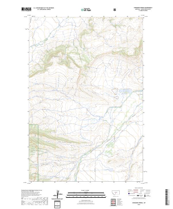
2024 Cinnamon Spring
Wheatland County, MT
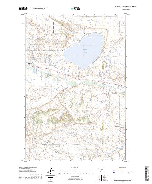
2024 Deadmans Basin Reservoir
Wheatland County, MT
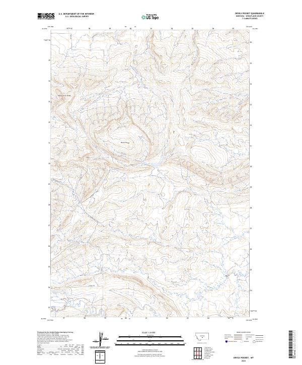
2024 Devils Pocket
Wheatland County, MT
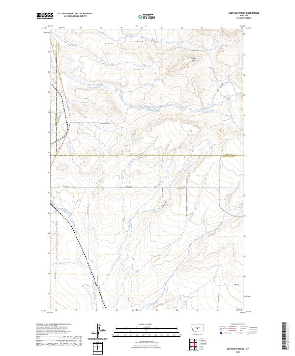
2024 Elephant Rocks
Wheatland County, MT
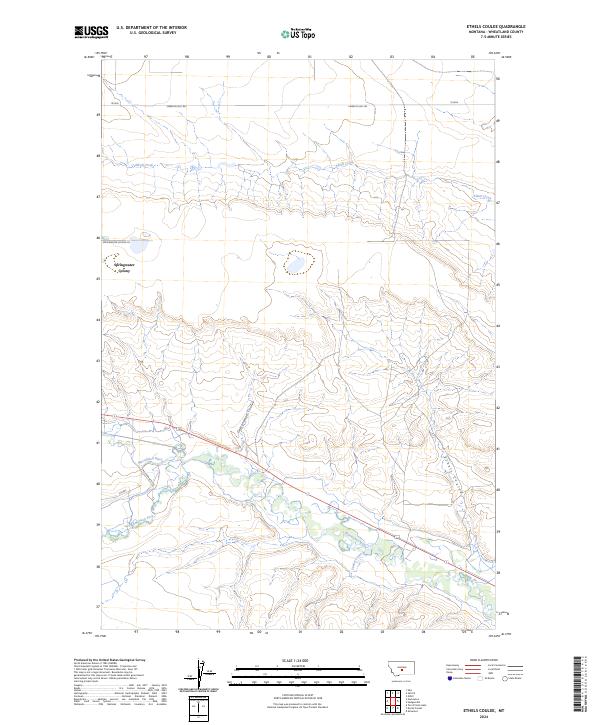
2024 Ethels Coulee
Wheatland County, MT
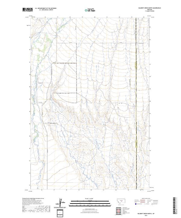
2024 Halbert Creek North
Wheatland County, MT
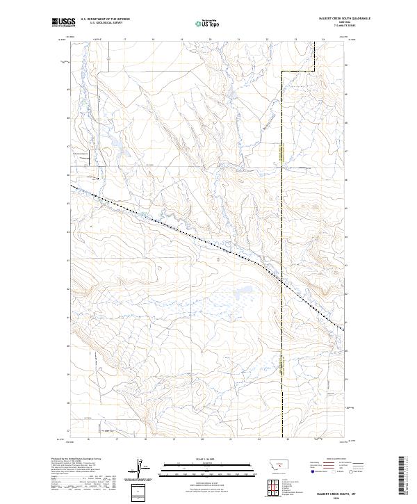
2024 Halbert Creek South
Wheatland County, MT
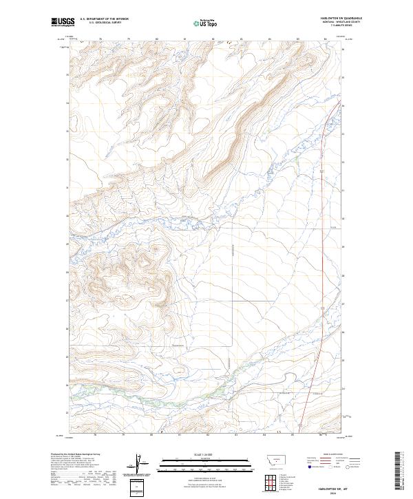
2024 Harlowton SW
Wheatland County, MT
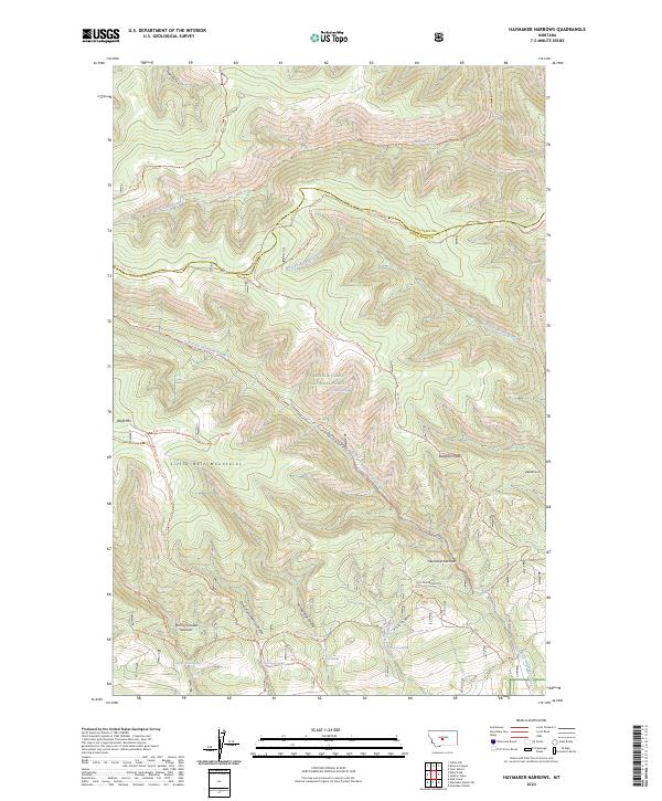
2024 Haymaker Narrows
Wheatland County, MT
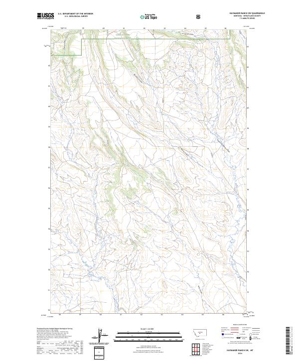
2024 Haymaker Ranch SW
Wheatland County, MT
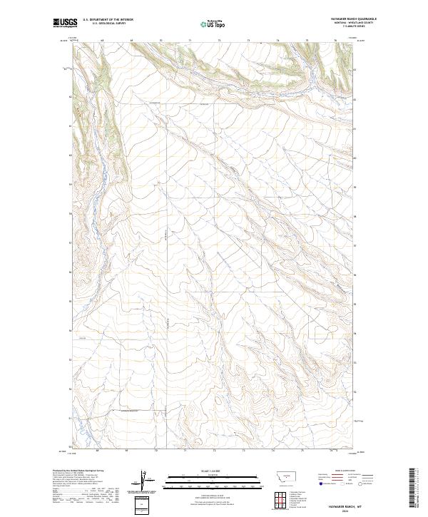
2024 Haymaker Ranch
Wheatland County, MT
2024 Hedgesville
Wheatland County, MT
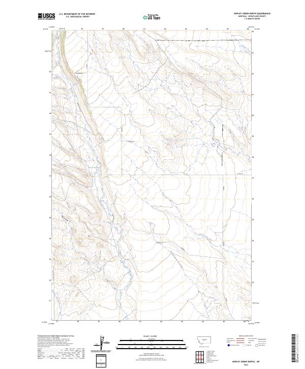
2024 Hopley Creek North
Wheatland County, MT

2024 Hopley Creek South
Wheatland County, MT
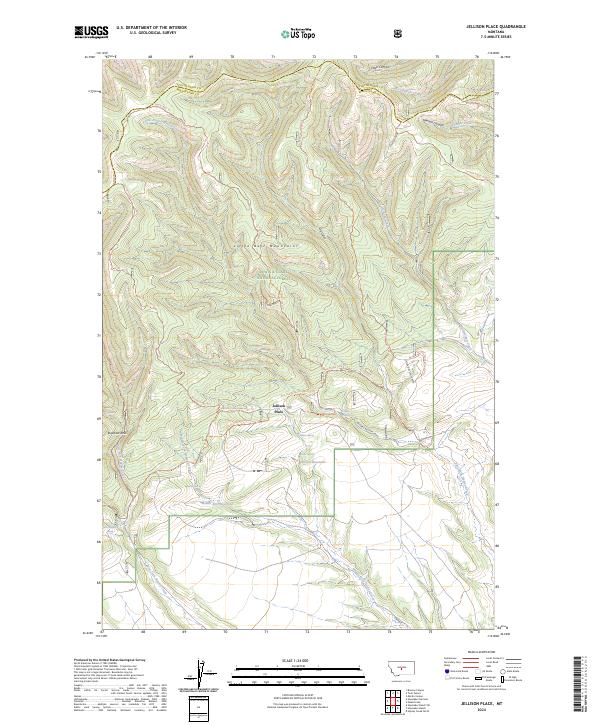
2024 Jellison Place
Wheatland County, MT
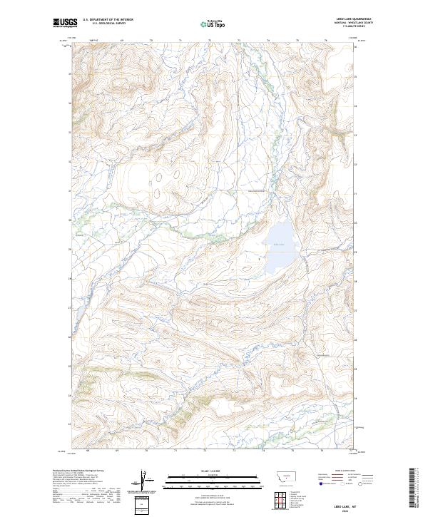
2024 Lebo Lake
Wheatland County, MT
2024 Mead Creek
Wheatland County, MT
2024 Nihill
Wheatland County, MT
2024 Oka
Wheatland County, MT
2024 Oxford
Wheatland County, MT
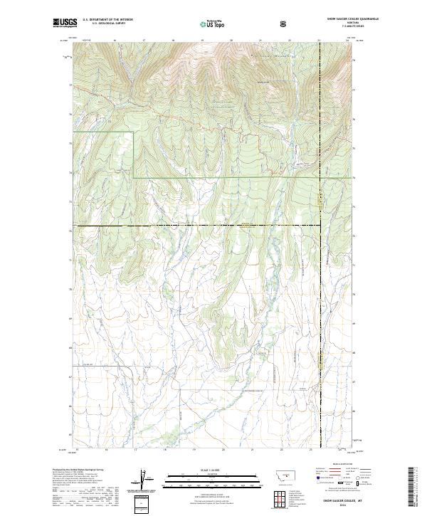
2024 Snow Saucer Coulee
Wheatland County, MT
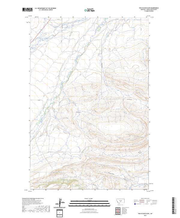
2024 Ten O'Clock Gate
Wheatland County, MT
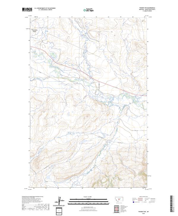
2024 Twodot NW
Wheatland County, MT
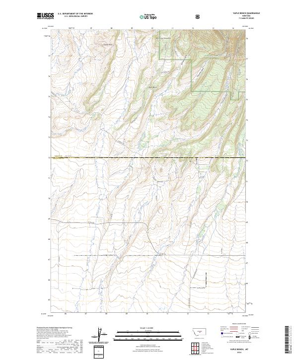
2024 Yaple Bench
Wheatland County, MT