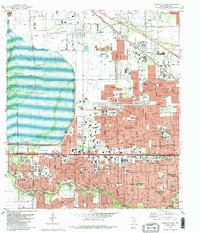
1982 Map of Hedwig Village
USGS Topo · Published 1982About this map
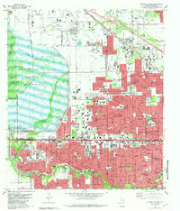
Addicks Reservoir dominates the western landscape of this 1982 map, serving as a massive hydrological buffer for the burgeoning West Houston suburbs. This era of rapid expansion is evident in the dense network of independent municipalities known as the Memorial Villages, including Hedwig Village, Bunker Hill Village, and Hunters Creek Village. The survey captures the residential growth pattern alongside established landmarks like the Lakeside Country Club and the Memorial City Shopping Center.
Find a feature on this map
105 named features on this map. Tap any name to fly to it.
Don’t see what you’re looking for? This feature index may not catch every label — zoom into the map to look around manually.
Map Details
Editions of this 1982 Hedwig Village Map
2 editions found
Other maps of this area
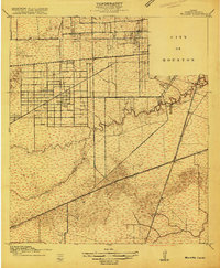
1915 · Bellaire
USGS Topo · 1:24,000
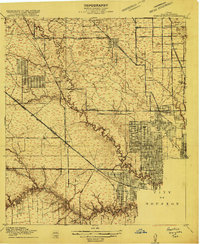
1915 · Houston Heights
USGS Topo · 1:24,000
1915 · Alief
USGS Topo · 1:24,000
1915 · Cypress
USGS Topo · 1:24,000
1915 · Addicks
USGS Topo · 1:24,000
1915 · Hillendahl
USGS Topo · 1:24,000
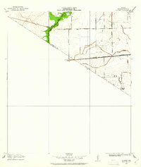
1915 · Clodine
USGS Topo · 1:24,000
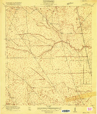
1916 · Aldine
USGS Topo · 1:24,000
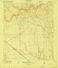
1916 · Satsuma
USGS Topo · 1:24,000
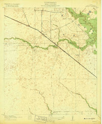
1918 · Cypress
USGS Topo · 1:31,680
Featured Places
- Houston, TX
- Jersey Village, TX
- Hunters Creek Village, TX
- Bunker Hill Village, TX
- Spring Valley Village, TX