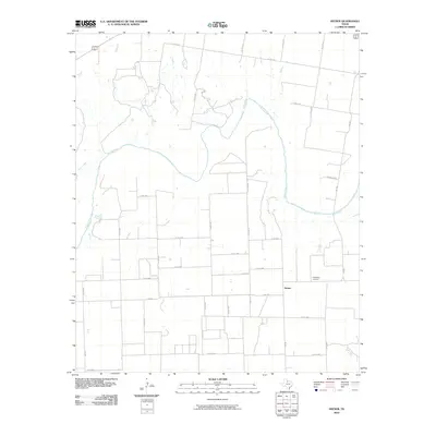
2010 Map of Hefner
USGS Topo · Published 2010About this map
The Brazos River meanders across this rural landscape, joined by the winding course of Red Creek as it flows through Knox County. This 2010 topographic representation reveals a region defined by agricultural plots and a sparse network of farm-to-market roads and county routes. The small settlement of Hefner serves as the central point of interest, situated near the intersection of several local arteries including FM 2534 and FM 266. Local genealogy and community history are anchored by the Friendship Cemetery located east of the main townsite. The layout of the roads, such as Townsend Rd and numerous numbered county roads like Co RD 4350, illustrates the enduring grid system that manages the vast open spaces between the riverbanks and the modest residential clusters.
Find a feature on this map
32 named features on this map. Tap any name to fly to it.
Don’t see what you’re looking for? This feature index may not catch every label — zoom into the map to look around manually.
Map Details
Editions of this 2010 Hefner Map
This is the sole edition of this map. No revisions or reprints were ever made.
Other maps of this area

1954 · Wichita Falls
USGS Topo · 1:250,000

1958 · Wichita Falls
USGS Topo · 1:250,000

1962 · Antelope Creek NW
USGS Topo · 1:24,000

1966 · Soap Creek
USGS Topo · 1:24,000

1966 · Gilliland
USGS Topo · 1:24,000

1966 · Bomarton
USGS Topo · 1:24,000

1966 · Vera
USGS Topo · 1:24,000

1967 · Hefner
USGS Topo · 1:24,000

1967 · Rhineland
USGS Topo · 1:24,000

1968 · Munday West
USGS Topo · 1:24,000