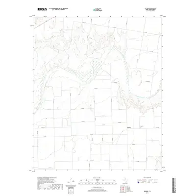
2019 Map of Hefner
USGS Topo · Published 2019About this map
Brazos River snakes across this West Texas landscape, defining the topography of Knox County near the small community of Hefner. The map reveals a transition from the river's winding breaks and the confluence with Red Cr to a structured grid of rural roads and agricultural fields to the south. This area, largely defined by ranching and farming, is anchored by local landmarks such as Friendship Cem located just east of the main settlement area. The network of farm-to-market roads, including Fm 266 and Fm 2534, illustrates the modern connectivity required for this remote agricultural region, while named routes like Townsend Rd and numerous county roads trace the long-standing property lines and family landholdings of the district.
Find a feature on this map
36 named features on this map. Tap any name to fly to it.
Don’t see what you’re looking for? This feature index may not catch every label — zoom into the map to look around manually.
Map Details
Editions of this 2019 Hefner Map
This is the sole edition of this map. No revisions or reprints were ever made.
Other maps of this area

1954 · Wichita Falls
USGS Topo · 1:250,000

1958 · Wichita Falls
USGS Topo · 1:250,000

1962 · Antelope Creek NW
USGS Topo · 1:24,000

1966 · Soap Creek
USGS Topo · 1:24,000

1966 · Gilliland
USGS Topo · 1:24,000

1966 · Bomarton
USGS Topo · 1:24,000

1966 · Vera
USGS Topo · 1:24,000

1967 · Hefner
USGS Topo · 1:24,000

1967 · Rhineland
USGS Topo · 1:24,000

1968 · Munday West
USGS Topo · 1:24,000