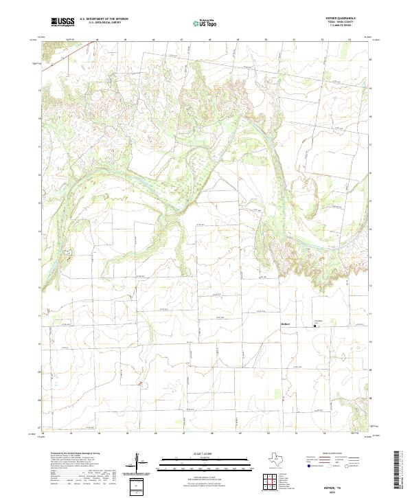
2022 Map of Hefner
USGS Topo · Published 2022About this map
The wide, meandering path of the Brazos River dominates this portion of Knox County, cutting through the landscape alongside smaller tributaries like Red Cr. The settlement of Hefner serves as the local anchor for the surrounding agricultural lands, situated near the intersection of several county roads and farm-to-market routes. Genealogists and local historians will find the Friendship Cem east of the main settlement, a primary landmark for tracing family roots in this rural Texas community. The map's grid of roads, including Townsend Rd and numerous numbered county routes, reflects the organized land partitioning typical of the region's ranching and farming heritage.
Find a feature on this map
37 named features on this map. Tap any name to fly to it.
Don’t see what you’re looking for? This feature index may not catch every label — zoom into the map to look around manually.
Map Details
Editions of this 2022 Hefner Map
This is the sole edition of this map. No revisions or reprints were ever made.
Other maps of this area

1954 · Wichita Falls
USGS Topo · 1:250,000

1958 · Wichita Falls
USGS Topo · 1:250,000

1962 · Antelope Creek NW
USGS Topo · 1:24,000

1966 · Soap Creek
USGS Topo · 1:24,000

1966 · Gilliland
USGS Topo · 1:24,000

1966 · Bomarton
USGS Topo · 1:24,000

1966 · Vera
USGS Topo · 1:24,000

1967 · Hefner
USGS Topo · 1:24,000

1967 · Rhineland
USGS Topo · 1:24,000

1968 · Munday West
USGS Topo · 1:24,000