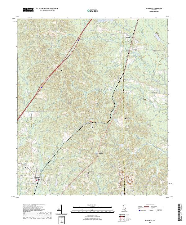
2024 Map of Heidelberg
USGS Topo · Published 2024About this map
Heidelberg anchors the southwestern corner of this landscape along the Jasper and Clarke County line, situated at a junction of roads such as N Pine Ave. The terrain is defined by a series of north-south drainage systems, including Shubuta Creek and Castaffa Creek, which feed into the Bogue Homo and Little Bogue Homo rivers. This modern survey illustrates a network of small settlements and historical sites like Vossburg, Stafford Springs, and Barnett. Family and community history is preserved across numerous burial grounds such as Salem Cem, Vossburg Cem, and Shady Grove Cem. To the east, the landscape transitions into Clarke County, where the waters of Cane Creek and the shores of Lake Waukaway and Lake Bounds provide distinctive landmarks among the timbered hills of East Central Mississippi.
Find a feature on this map
71 named features on this map. Tap any name to fly to it.
Don’t see what you’re looking for? This feature index may not catch every label — zoom into the map to look around manually.
Map Details
Editions of this 2024 Heidelberg Map
This is the sole edition of this map. No revisions or reprints were ever made.
Other maps of this area

1953 · Hattiesburg
USGS Topo · 1:250,000

1953 · Meridian
USGS Topo · 1:250,000

1957 · Meridian
USGS Topo · 1:250,000

1957 · Enterprise
USGS Topo · 1:62,500

1958 · Hattiesburg
USGS Topo · 1:250,000

1963 · Waldrup
USGS Topo · 1:24,000

1963 · Heidelberg
USGS Topo · 1:24,000

1964 · Heidelberg SW
USGS Topo · 1:24,000

1964 · Sandersville
USGS Topo · 1:24,000

1964 · Eucutta
USGS Topo · 1:24,000