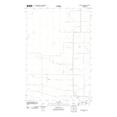
2010 Map of Heikkila Creek
USGS Topo · Published 2010About this map
Heikkila Creek winds through a landscape defined by the intersection of Finnish heritage and northwoods geography. The area's cultural history is anchored by markers of early 20th-century settlement, including the Salo Post Office and Kalavala Post Office. These landmarks, along with family-named roads like Koivisto Rd, Leppioja Rd, and Krigsholm Rd, speak to the specific immigrant communities that established farms and homesteads here. The drainage of the Kettle River system, including the West Branch Kettle River and Dead Moose River, creates a complex network of waterways that historically influenced travel and land use. For genealogists, the West Branch Cemetery, Co-op Cemetery, and Holy Trinity Cemetery provide vital points of connection to local families. The presence of the Soo Line Trl reflects the transition of industrial rail corridors into modern recreational paths.
Find a feature on this map
34 named features on this map. Tap any name to fly to it.
Don’t see what you’re looking for? This feature index may not catch every label — zoom into the map to look around manually.
Map Details
Editions of this 2010 Heikkila Creek Map
This is the sole edition of this map. No revisions or reprints were ever made.
Other maps of this area

1953 · Duluth
USGS Topo · 1:250,000

1958 · Duluth
USGS Topo · 1:250,000

1961 · Cromwell
USGS Topo · 1:62,500

1961 · Moose Lake
USGS Topo · 1:62,500

1969 · Ronald
USGS Topo · 1:24,000

1969 · Automba
USGS Topo · 1:24,000

1970 · Wright
USGS Topo · 1:24,000

1980 · Sandstone
USGS Topo · 1:100,000

1980 · Duluth
USGS Topo · 1:100,000

1981 · Kettle River
USGS Topo · 1:24,000
Featured Places
- Kalevala Township, MN
- Split Rock Township, MN
- Silver Township, MN
- Lakeview Township, MN
- Automba Township, MN