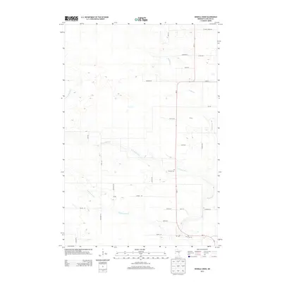
2013 Map of Heikkila Creek
USGS Topo · Published 2013About this map
Kettle River and the W Br Kettle River define the drainage of this Carlton County landscape, where the Dead Moose River cuts across the lower terrain. The road network preserves the names of early local families and homesteads through labels like Koivisto Rd, Krigsholm Rd, and Baakari Rd. Local genealogy is anchored by several burial grounds, including W Branch Cem, Holy Trinity Cem, and the Co-op Cem. The presence of small Po (post office) markers suggests the location of rural community hubs along these country roads. This area is characterized by its numerous small watercourses, such as Heikkila Cr and Silver Cr, which have historically influenced the layout of the township's primary transit routes and farming tracts.
Find a feature on this map
34 named features on this map. Tap any name to fly to it.
Don’t see what you’re looking for? This feature index may not catch every label — zoom into the map to look around manually.
Map Details
Editions of this 2013 Heikkila Creek Map
This is the sole edition of this map. No revisions or reprints were ever made.
Other maps of this area

1953 · Duluth
USGS Topo · 1:250,000

1958 · Duluth
USGS Topo · 1:250,000

1961 · Cromwell
USGS Topo · 1:62,500

1961 · Moose Lake
USGS Topo · 1:62,500

1969 · Ronald
USGS Topo · 1:24,000

1969 · Automba
USGS Topo · 1:24,000

1970 · Wright
USGS Topo · 1:24,000

1980 · Sandstone
USGS Topo · 1:100,000

1980 · Duluth
USGS Topo · 1:100,000

1981 · Kettle River
USGS Topo · 1:24,000
Featured Places
- Kalevala Township, MN
- Split Rock Township, MN
- Silver Township, MN
- Lakeview Township, MN
- Automba Township, MN