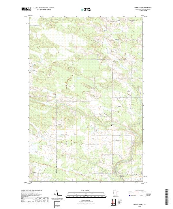
2022 Map of Heikkila Creek
USGS Topo · Published 2022About this map
The Kettle River and its various tributaries, including the W Br Kettle River and Dead Moose River, anchor the landscape of this Carlton County quadrangle. The terrain is defined by a complex network of wetlands and small waterways like Heikkila Cr and Silver Cr, interspersed with rural road systems such as Co Hwy 6 and Scenic River Rd. The presence of the Soo Line North- Carlton Trl highlights a historical rail corridor repurposed for modern use.
Find a feature on this map
44 named features on this map. Tap any name to fly to it.
Don’t see what you’re looking for? This feature index may not catch every label — zoom into the map to look around manually.
Map Details
Editions of this 2022 Heikkila Creek Map
This is the sole edition of this map. No revisions or reprints were ever made.
Other maps of this area

1953 · Duluth
USGS Topo · 1:250,000

1958 · Duluth
USGS Topo · 1:250,000

1961 · Cromwell
USGS Topo · 1:62,500

1961 · Moose Lake
USGS Topo · 1:62,500

1969 · Ronald
USGS Topo · 1:24,000

1969 · Automba
USGS Topo · 1:24,000

1970 · Wright
USGS Topo · 1:24,000

1980 · Sandstone
USGS Topo · 1:100,000

1980 · Duluth
USGS Topo · 1:100,000

1981 · Kettle River
USGS Topo · 1:24,000