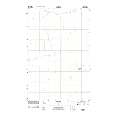
2011 Map of Heimdal
USGS Topo · Published 2011About this map
Heimdal serves as the primary hub for this agricultural area of Wells County, situated among the sections of the Great Plains. The settlement is defined by its grid of streets, including 1st Ave and Highland St, which stand out against the vast landscape of section-line roads like 39th Ave NE and 26th St NE. Water is the defining natural force here, with the North Fork Sheyenne River merging into the winding Sheyenne River in the north, while the lower reaches are carved by the drainage of Big Slough. For those looking into local lineage, the landscape preserves several sacred sites, specifically Bethania Cemetery to the west and Hoff Cemetery in the southeast, each located at a distance from the main township.
Find a feature on this map
23 named features on this map. Tap any name to fly to it.
Don’t see what you’re looking for? This feature index may not catch every label — zoom into the map to look around manually.
Map Details
Editions of this 2011 Heimdal Map
This is the sole edition of this map. No revisions or reprints were ever made.
Other maps of this area

1941 · Selz
USGS Topo · 1:62,500

1943 · Maddock
USGS Topo · 1:62,500

1945 · Maddock
USGS Topo · 1:62,500

1945 · Manfred
USGS Topo · 1:62,500

1948 · Fessenden
USGS Topo · 1:62,500

1948 · Manfred
USGS Topo · 1:62,500

1949 · Fessenden East
USGS Topo · 1:24,000

1949 · Fessenden West
USGS Topo · 1:24,000

1950 · Wellsburg
USGS Topo · 1:24,000

1950 · Manfred
USGS Topo · 1:24,000