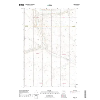
2018 Map of Heimdal
USGS Topo · Published 2018About this map
Heimdal sits at the heart of this Wells County landscape, positioned within a grid of section lines and gravel roads that define the North Dakota prairie. The terrain is dramatically shaped by the Sheyenne River and its N Fork, which carve a winding path through the northern sections of the township. This water system, combined with the presence of Big Slough, illustrates a landscape defined by glacial drainage patterns. Local history is anchored by the presence of Bethania Cem and Hoff Cem, which serve as quiet markers of the families who settled this region. The map reveals the precise intersection of county lines, specifically where Benson Co and Wells Co meet, showing how political boundaries often follow the rigid Public Land Survey System even as the natural river bends ignore it.
Find a feature on this map
23 named features on this map. Tap any name to fly to it.
Don’t see what you’re looking for? This feature index may not catch every label — zoom into the map to look around manually.
Map Details
Editions of this 2018 Heimdal Map
This is the sole edition of this map. No revisions or reprints were ever made.
Other maps of this area

1941 · Selz
USGS Topo · 1:62,500

1943 · Maddock
USGS Topo · 1:62,500

1945 · Maddock
USGS Topo · 1:62,500

1945 · Manfred
USGS Topo · 1:62,500

1948 · Fessenden
USGS Topo · 1:62,500

1948 · Manfred
USGS Topo · 1:62,500

1949 · Fessenden East
USGS Topo · 1:24,000

1949 · Fessenden West
USGS Topo · 1:24,000

1950 · Wellsburg
USGS Topo · 1:24,000

1950 · Manfred
USGS Topo · 1:24,000