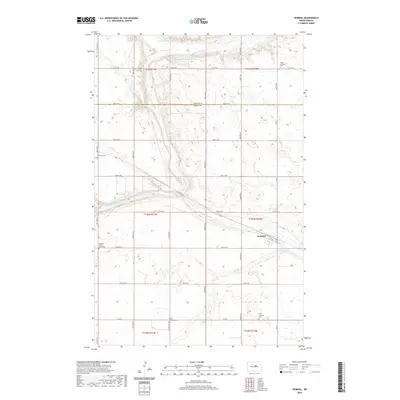
2020 Map of Heimdal
USGS Topo · Published 2020About this map
Heimdal sits at the heart of this central North Dakota landscape, a small prairie settlement defined by the winding course of the Sheyenne River and its N Fork. The terrain is characterized by the expansive Big Slough, which dominates the eastern and southern portions of the survey area. This 2020 topographical study highlights a high density of Lutheran heritage sites, reflecting the cultural settlement patterns of the region. Local history and genealogy are well-represented by numerous burial grounds scattered across the townships, including Klara Lutheran Cem to the north and the Hoff Lutheran Cem near the southern boundary. The presence of Bethania Church and its associated Bethania Cem and Bethania Cem South locations provides a detailed look at the religious infrastructure that anchored these rural communities.
Find a feature on this map
27 named features on this map. Tap any name to fly to it.
Don’t see what you’re looking for? This feature index may not catch every label — zoom into the map to look around manually.
Map Details
Editions of this 2020 Heimdal Map
This is the sole edition of this map. No revisions or reprints were ever made.
Other maps of this area

1941 · Selz
USGS Topo · 1:62,500

1943 · Maddock
USGS Topo · 1:62,500

1945 · Maddock
USGS Topo · 1:62,500

1945 · Manfred
USGS Topo · 1:62,500

1948 · Fessenden
USGS Topo · 1:62,500

1948 · Manfred
USGS Topo · 1:62,500

1949 · Fessenden East
USGS Topo · 1:24,000

1949 · Fessenden West
USGS Topo · 1:24,000

1950 · Wellsburg
USGS Topo · 1:24,000

1950 · Manfred
USGS Topo · 1:24,000