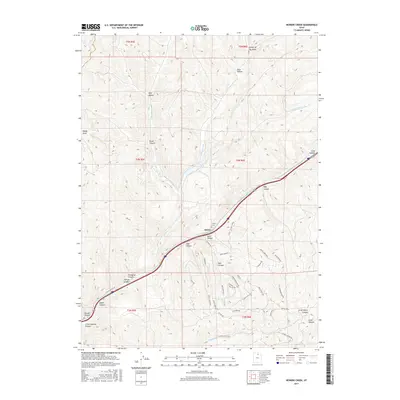
2017 Map of Heiners Creek
USGS Topo · Published 2017About this map
The settlement of Emory sits at a critical junction of drainage and transportation within the high-relief landscape of Summit County. This 2017 survey highlights the deep topographical corridors of Echo Canyon and Stag Canyon, which have historically dictated the passage of travelers and rail through the Wasatch Range. The drainage of Heiners Creek and its branches, including the Left Fork Heiners Cr and S Fork Heiners Cr, carve through the terrain, creating a complex network of named hollows like Wolf Hollow and Shed Hollow.
Find a feature on this map
51 named features on this map. Tap any name to fly to it.
Don’t see what you’re looking for? This feature index may not catch every label — zoom into the map to look around manually.
Map Details
Editions of this 2017 Heiners Creek Map
This is the sole edition of this map. No revisions or reprints were ever made.
Other maps of this area

1885 · Salt Lake
USGS Topo · 1:250,000

1900 · Coalville
USGS Topo · 1:125,000

1903 · Coalville
USGS Topo · 1:125,000

1954 · Salt Lake City
USGS Topo · 1:250,000

1954 · Ogden
USGS Topo · 1:250,000

1958 · Ogden
USGS Topo · 1:250,000

1958 · Salt Lake City
USGS Topo · 1:250,000

1960 · Ogden
USGS Topo · 1:250,000

1960 · Salt Lake City
USGS Topo · 1:250,000

1964 · Lost Creek Dam
USGS Topo · 1:24,000