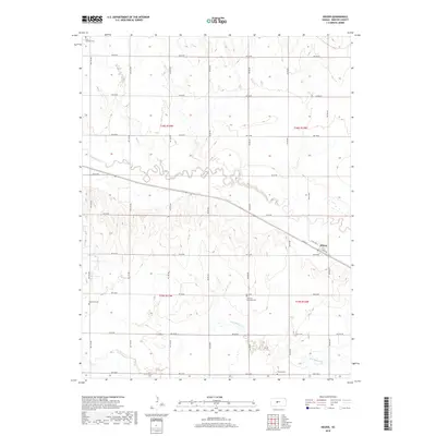
2018 Map of Heizer
USGS Topo · Published 2018About this map
Heizer sits at the intersection of rail and road in this 2018 survey of Barton County, Kansas. The settlement is defined by its grid of streets, including Main St, Byers Ave, and Bend Ave, clustered along the transportation corridor that parallels Walnut Cr. The surrounding landscape is dominated by the wide, meandering paths of Dry Walnut Cr and Boot Cr, which carve through the agricultural sections of the Great Plains.
Find a feature on this map
33 named features on this map. Tap any name to fly to it.
Don’t see what you’re looking for? This feature index may not catch every label — zoom into the map to look around manually.
Map Details
Editions of this 2018 Heizer Map
This is the sole edition of this map. No revisions or reprints were ever made.
Other maps of this area

1889 · Larned
USGS Topo · 1:125,000

1891 · Great Bend
USGS Topo · 1:125,000

1891 · Larned
USGS Topo · 1:125,000

1893 · Great Bend
USGS Topo · 1:125,000

1896 · Russell
USGS Topo · 1:125,000

1896 · Hays
USGS Topo · 1:125,000

1955 · Great Bend
USGS Topo · 1:250,000

1957 · Great Bend
USGS Topo · 1:250,000

1958 · Great Bend
USGS Topo · 1:250,000

1958 · Great Bend
USGS Topo · 1:24,000