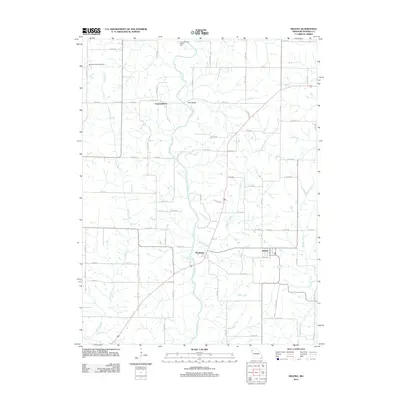
2012 Map of Helena
USGS Topo · Published 2012About this map
The Platte River meanders south through this Andrew County landscape, passing several small rural hubs including Rochester and Fountainbleau. This 2012 survey illustrates the hydrological network of northern Missouri, where tributaries like Niagara Creek, Muddy Creek, and Long Branch drain into the primary river valley. A notable topographic feature occurs at Rochester Falls, while the Elrod Mill State Access Area preserves the memory of former water-powered industry along the riverbanks.
Find a feature on this map
69 named features on this map. Tap any name to fly to it.
Don’t see what you’re looking for? This feature index may not catch every label — zoom into the map to look around manually.
Map Details
Editions of this 2012 Helena Map
This is the sole edition of this map. No revisions or reprints were ever made.
Other maps of this area
1923 · Clarksdale
USGS Topo · 1:62,500
1924 · St. Joseph
USGS Topo · 1:62,500
1925 · Clarksdale
USGS Topo · 1:62,500
1925 · Stanberry
USGS Topo · 1:62,500
1926 · Saint Joseph
USGS Topo · 1:62,500
1927 · Bolckow
USGS Topo · 1:62,500
1939 · Stanberry
USGS Topo · 1:62,500
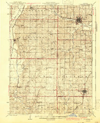
1943 · Stanberry
USGS Topo · 1:62,500
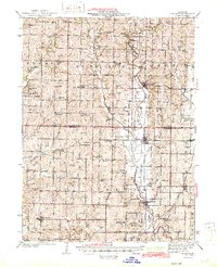
1945 · Bolckow
USGS Topo · 1:62,500

1950 · Kansas City
USGS Topo · 1:250,000