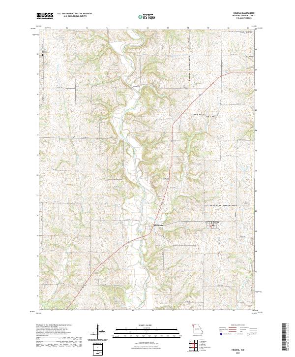
2021 Map of Helena
USGS Topo · Published 2021About this map
Rochester and Helena anchor this portion of Andrew County, where the meandering path of the Platte River dictates the local geography. The river valley is punctuated by several significant water features, including Rochester Falls and the crossings at Wire Bridge, illustrating how the waterway served as both a barrier and a central artery for the surrounding rural communities. The landscape is primarily defined by its drainage systems, with Niagara Cr and Long Br carving through the agricultural uplands. Evidence of the area's deep-rooted settlement is visible at Chapel Cem near the northern boundary. The local road network, including State Hwy E and numerous county routes like Co RD 232, reveals a traditional Missouri farm-to-market layout that has persisted into the twenty-first century.
Find a feature on this map
65 named features on this map. Tap any name to fly to it.
Don’t see what you’re looking for? This feature index may not catch every label — zoom into the map to look around manually.
Map Details
Editions of this 2021 Helena Map
This is the sole edition of this map. No revisions or reprints were ever made.
Other maps of this area

1923 · Clarksdale
USGS Topo · 1:62,500

1924 · St. Joseph
USGS Topo · 1:62,500

1925 · Clarksdale
USGS Topo · 1:62,500

1925 · Stanberry
USGS Topo · 1:62,500

1926 · Saint Joseph
USGS Topo · 1:62,500

1927 · Bolckow
USGS Topo · 1:62,500

1939 · Stanberry
USGS Topo · 1:62,500

1943 · Stanberry
USGS Topo · 1:62,500

1945 · Bolckow
USGS Topo · 1:62,500

1950 · Kansas City
USGS Topo · 1:250,000