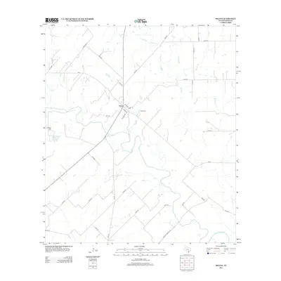
2013 Map of Helena
USGS Topo · Published 2013About this map
The San Antonio River meanders across this Karnes County landscape, joined by its northern tributaries including Cibolo Cr and Ecleto Cr. The settlement of Helena serves as the focal point, situated at a junction of regional roads such as FM-81 and Co RD-301. This area preserves the footprint of a rural Texas community, centered around the Helena Cem and the prominent rising elevation of Lookout Hill to the west. The drainage network is particularly detailed here, showing the courses of Dry Ecleto Cr and McTennel Cr. Local transportation is defined by a dense grid of county roads, including the historically named Wofford Crossing Rd, which highlights early river-crossing points that helped establish the settlement patterns in this part of South Texas.
Find a feature on this map
37 named features on this map. Tap any name to fly to it.
Don’t see what you’re looking for? This feature index may not catch every label — zoom into the map to look around manually.
Map Details
Editions of this 2013 Helena Map
This is the sole edition of this map. No revisions or reprints were ever made.
Other maps of this area
1920 · Smiley
USGS Topo · 1:125,000

1953 · Beeville
USGS Topo · 1:250,000

1953 · Seguin
USGS Topo · 1:250,000

1956 · Beeville
USGS Topo · 1:250,000
1956 · Karnes City
USGS Topo · 1:62,500

1958 · Seguin
USGS Topo · 1:250,000

1960 · Beeville
USGS Topo · 1:250,000
1960 · Karnes City
USGS Topo · 1:24,000
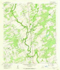
1960 · Kosciusko
USGS Topo · 1:24,000
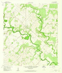
1960 · Helena
USGS Topo · 1:24,000