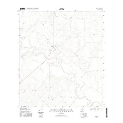
2016 Map of Helena
USGS Topo · Published 2016About this map
The settlement of Helena sits at a geographic crossroads in Karnes County, where the expansive South Texas plains are dissected by several significant waterways. This 2016 survey illustrates a landscape deeply tied to the winding course of the San Antonio River, which meanders through the southern half of the quadrangle. The river is joined by several tributaries, including Cibolo Cr and Ecleto Cr, creating a complex riparian network amidst the farm-to-market roads. For local historians and genealogists, the Helena Cem remains a primary landmark for tracing the area's legacy. To the west, the elevation rises toward Lookout Hill, providing a vantage point over the confluence of these creeks. The layout of rural routes like FM 81 and FM 792 reflects the enduring agricultural and ranching patterns that have shaped this portion of the Texas interior.
Find a feature on this map
37 named features on this map. Tap any name to fly to it.
Don’t see what you’re looking for? This feature index may not catch every label — zoom into the map to look around manually.
Map Details
Editions of this 2016 Helena Map
This is the sole edition of this map. No revisions or reprints were ever made.
Other maps of this area
1920 · Smiley
USGS Topo · 1:125,000

1953 · Beeville
USGS Topo · 1:250,000

1953 · Seguin
USGS Topo · 1:250,000

1956 · Beeville
USGS Topo · 1:250,000
1956 · Karnes City
USGS Topo · 1:62,500

1958 · Seguin
USGS Topo · 1:250,000

1960 · Beeville
USGS Topo · 1:250,000
1960 · Karnes City
USGS Topo · 1:24,000
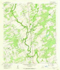
1960 · Kosciusko
USGS Topo · 1:24,000
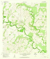
1960 · Helena
USGS Topo · 1:24,000