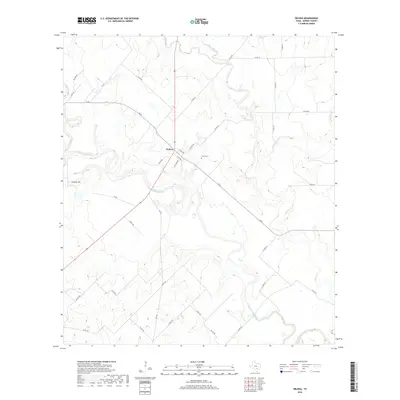
2019 Map of Helena
USGS Topo · Published 2019About this map
Helena stands as the primary settlement in this part of Karnes County, situated near the confluence of the San Antonio River and Ecleto Cr. This landscape is defined by the winding paths of these waterways, including Cibolo Cr and Dry Ecleto Cr, which have historically dictated the placement of roads and homesteads. The presence of the Helena Cem northeast of the town center offers a specific point of interest for genealogists tracing families in this South Texas region. To the southwest, Lookout Hill provides one of the few named topographic elevations in an area otherwise characterized by gentle river valleys. The road network, including FM 81 and CR 357, radiates from the town, reflecting a long-standing rural infrastructure that serves the local ranching and agricultural interests common to the San Antonio River basin.
Find a feature on this map
38 named features on this map. Tap any name to fly to it.
Don’t see what you’re looking for? This feature index may not catch every label — zoom into the map to look around manually.
Map Details
Editions of this 2019 Helena Map
This is the sole edition of this map. No revisions or reprints were ever made.
Other maps of this area
1920 · Smiley
USGS Topo · 1:125,000

1953 · Beeville
USGS Topo · 1:250,000

1953 · Seguin
USGS Topo · 1:250,000

1956 · Beeville
USGS Topo · 1:250,000
1956 · Karnes City
USGS Topo · 1:62,500

1958 · Seguin
USGS Topo · 1:250,000

1960 · Beeville
USGS Topo · 1:250,000
1960 · Karnes City
USGS Topo · 1:24,000
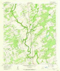
1960 · Kosciusko
USGS Topo · 1:24,000
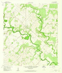
1960 · Helena
USGS Topo · 1:24,000