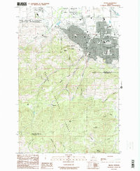
1985 Map of Helena
USGS Topo · Published 1985About this map
Helena and its rugged southern surroundings are captured in this mid-1980s topographic study, showing the city's transition into the foothills of the Helena National Forest. The map documents the extensive Fort William H Harrison Military Reservation to the west and the developed northern edge of the city featuring the Green Meadow Game Preserve and the Helena Valley Canal.
Find a feature on this map
37 named features on this map. Tap any name to fly to it.
Don’t see what you’re looking for? This feature index may not catch every label — zoom into the map to look around manually.
Map Details
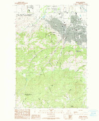
Editions of this 1985 Helena Map
2 editions found
Other maps of this area

1886 · Fort Logan
USGS Topo · 1:250,000

1889 · Helena
USGS Topo · 1:250,000

1893 · Helena
USGS Topo · 1:250,000

1899 · Boulder
USGS Topo · 1:125,000

1899 · Helena
USGS Topo · 1:62,500

1899 · Helena
USGS Topo · 1:250,000

1903 · Helena
USGS Topo · 1:250,000

1947 · Butte
USGS Topo · 1:250,000

1948 · White Sulphur Springs
USGS Topo · 1:250,000

1950 · Jefferson City
USGS Topo · 1:62,500