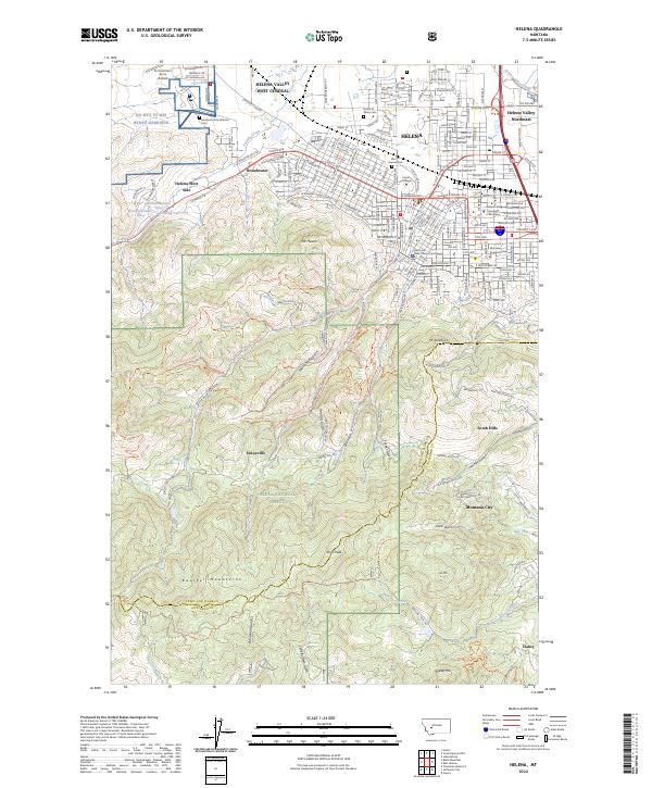
1950 Map of Helena
USGS Topo · Published 1984About this map
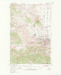
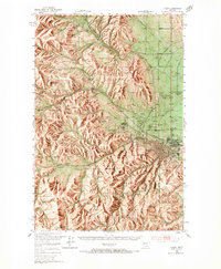
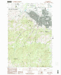
Helena serves as the focal point of this mid-century survey, revealing the city's role as a regional hub of governance and institutional care just after the war. The map highlights significant land uses on the city's periphery, including the Veterans Administration Center and Fort William Henry Harrison, alongside social anchors like the St Joseph Orphan Home and the State Capitol. The influence of heavy infrastructure is visible in the paths of the Great Northern and Northern Pacific railroads, which negotiate the drainage of Tenmile Creek and Sevenmile Creek.
Find a feature on this map
60 named features on this map. Tap any name to fly to it.
Don’t see what you’re looking for? This feature index may not catch every label — zoom into the map to look around manually.
Map Details
Editions of this 1950 Helena Map
6 editions found
Historical Maps of Helena Through Time
12 maps found

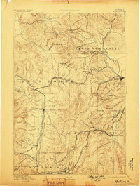
1889 Helena
Lewis and Clark County, MT
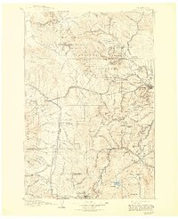
1893 Helena
Lewis and Clark County, MT

1899 Helena
Lewis and Clark County, MT
1903 Helena
Lewis and Clark County, MT
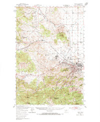
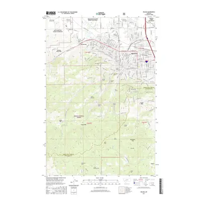
1950 Helena
Lewis and Clark County, MT
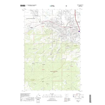
1985 Helena
Lewis and Clark County, MT
2001 Helena
Lewis and Clark County, MT
2011 Helena
Lewis and Clark County, MT
2014 Helena
Lewis and Clark County, MT
2017 Helena
Lewis and Clark County, MT
2020 Helena
Lewis and Clark County, MT
2024 Helena
Lewis and Clark County, MT