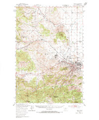
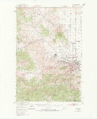
1950 Map of Helena
USGS Topo · Published 1966About this map
Helena serves as the focal point of this mid-century survey, revealing a landscape defined by its mining heritage and its status as a regional center. The city's Western outskirts are dominated by the sprawling grounds of Fort William Henry Harrison and the Veterans Administration Center, while the industrial and transportation corridor follows the Northern Pacific and Great Northern Line railroads. Smaller mining-era settlements like Unionville and Austin appear in the surrounding gulches and hills, alongside specialized institutions like the St Joseph Orphan Home and the State Nursery.
Find a feature on this map
67 named features on this map. Tap any name to fly to it.
Don’t see what you’re looking for? This feature index may not catch every label — zoom into the map to look around manually.
Map Details
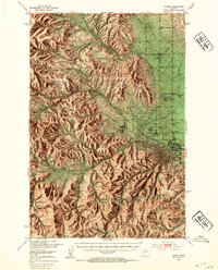
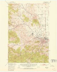
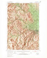
Editions of this 1950 Helena Map
6 editions found

Other maps of this area

1886 · Fort Logan
USGS Topo · 1:250,000

1889 · Helena
USGS Topo · 1:250,000

1893 · Helena
USGS Topo · 1:250,000

1899 · Boulder
USGS Topo · 1:125,000

1899 · Helena
USGS Topo · 1:62,500

1899 · Helena
USGS Topo · 1:250,000

1903 · Helena
USGS Topo · 1:250,000

1947 · Butte
USGS Topo · 1:250,000

1948 · White Sulphur Springs
USGS Topo · 1:250,000

1950 · Jefferson City
USGS Topo · 1:62,500