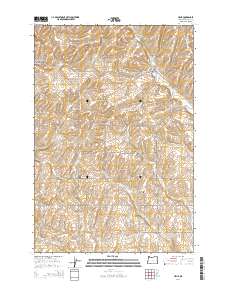
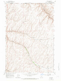
2014 Map of Helix
USGS Topo · Published 2014About this map
The agricultural town of Helix serves as the focal point of this 2014 survey, situated atop the plateau where the high plains of Umatilla County are carved by the drainage of Greasewood Cr. This landscape is defined by a dense grid of farm roads and deep topographical incisions like North Fork Cold Springs Canyon. A notable concentration of cultural sites provides significant value for local history and genealogy, with four distinct burial grounds—the German Cem, Finland Cem, Greasewood Cem, and Helix Cem—marking the heritage of the early families who settled this wheat-growing region. The orientation of the roads, such as Van Sycle Rd and Kupers Rd, follows the section lines of the Public Land Survey System, illustrating how systematic land division shaped the rural settlement pattern between Spring Cr and the various forks of Greasewood Creek.
Find a feature on this map
47 named features on this map. Tap any name to fly to it.
Don’t see what you’re looking for? This feature index may not catch every label — zoom into the map to look around manually.
Map Details
Editions of this 2014 Helix Map
This is the sole edition of this map. No revisions or reprints were ever made.
Other maps of this area
1935 · Pendleton
USGS Topo · 1:125,000

1953 · Pendleton
USGS Topo · 1:250,000

1956 · Pendleton
USGS Topo · 1:250,000
1966 · Adams
USGS Topo · 1:24,000
1966 · Smeltz
USGS Topo · 1:24,000
1966 · Cayuse
USGS Topo · 1:24,000
1966 · Holdman SE
USGS Topo · 1:24,000
1966 · Pendleton
USGS Topo · 1:24,000
1966 · Mission
USGS Topo · 1:24,000
1966 · Ring
USGS Topo · 1:24,000