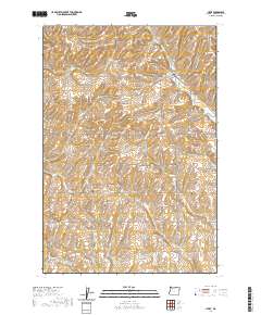
2020 Map of Helix
USGS Topo · Published 2020About this map
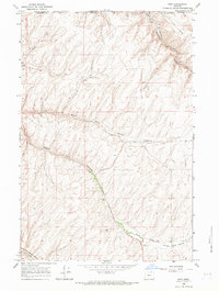
Helix serves as the primary hub for this agricultural portion of Umatilla County, situated amidst the high-relief drainage basins of the Columbia Plateau. The landscape is defined by the complex branching of Greasewood Cr and its tributaries, including W Fork Greasewood Cr and Little Greasewood Cr, which cut through the undulating terrain. A distinct network of section-line roads such as Holdman Rd and Muller Rd organize the vast wheat-growing country, reflecting the region's long-established dryland farming traditions.
Find a feature on this map
48 named features on this map. Tap any name to fly to it.
Don’t see what you’re looking for? This feature index may not catch every label — zoom into the map to look around manually.
Map Details
Editions of this 2020 Helix Map
This is the sole edition of this map. No revisions or reprints were ever made.
Other maps of this area

1935 · Pendleton
USGS Topo · 1:125,000

1953 · Pendleton
USGS Topo · 1:250,000

1956 · Pendleton
USGS Topo · 1:250,000
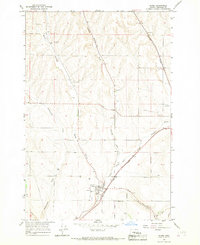
1966 · Adams
USGS Topo · 1:24,000
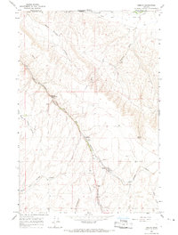
1966 · Smeltz
USGS Topo · 1:24,000
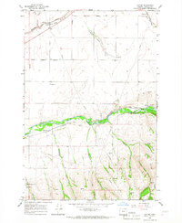
1966 · Cayuse
USGS Topo · 1:24,000

1966 · Holdman SE
USGS Topo · 1:24,000

1966 · Pendleton
USGS Topo · 1:24,000

1966 · Mission
USGS Topo · 1:24,000
1966 · Ring
USGS Topo · 1:24,000