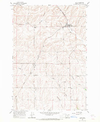
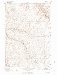
1966 Map of Helix
USGS Topo · Published 1967About this map
Helix serves as the primary hub in this Umatilla County landscape, where the Northern Pacific railroad cuts through the high wheat country of eastern Oregon. The town is anchored by Griswold Union High Sch and is surrounded by numerous pioneer burial grounds, including the Finland Cemetery, German Cemetery, and Greasewood Cemetery, reflecting the diverse immigrant heritage that settled these plateaus. The topography is defined by the deep incisions of North Fork Cold Springs Canyon and the Greasewood Creek drainage system.
Find a feature on this map
19 named features on this map. Tap any name to fly to it.
Don’t see what you’re looking for? This feature index may not catch every label — zoom into the map to look around manually.
Map Details
Editions of this 1966 Helix Map
This is the sole edition of this map. No revisions or reprints were ever made.
Other maps of this area

1935 · Pendleton
USGS Topo · 1:125,000

1953 · Pendleton
USGS Topo · 1:250,000

1956 · Pendleton
USGS Topo · 1:250,000
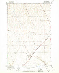
1966 · Adams
USGS Topo · 1:24,000
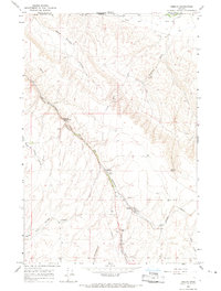
1966 · Smeltz
USGS Topo · 1:24,000
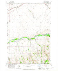
1966 · Cayuse
USGS Topo · 1:24,000

1966 · Holdman SE
USGS Topo · 1:24,000

1966 · Pendleton
USGS Topo · 1:24,000

1966 · Mission
USGS Topo · 1:24,000
1966 · Ring
USGS Topo · 1:24,000