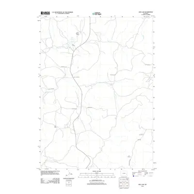
2012 Map of Hell Gap
USGS Topo · Published 2012About this map
The Patten Creek School stands as a central landmark in this Goshen County landscape, where the geography is defined by family-named ranches and intermittent drainages. Settlement patterns here are tied to the water sources that cut through the high plains, such as Patten Cr and Broom Cr, which are supported by features like Patten Creek Spring and Broom Creek Spring. The presence of the Old 4 J Ranch and 4J Canyon suggest a long-standing agricultural history, while the Greenhope Mine to the east points to the region's mineral interests. The terrain is marked by significant topographical shifts at Hell Gap and various draws like Grant Agnew Draw and Sam Draw, all connected by a network of local routes including Emigrant Hill Rd and Patten Creek Rd.
Find a feature on this map
19 named features on this map. Tap any name to fly to it.
Don’t see what you’re looking for? This feature index may not catch every label — zoom into the map to look around manually.
Map Details
Editions of this 2012 Hell Gap Map
This is the sole edition of this map. No revisions or reprints were ever made.
Other maps of this area

1896 · Hartville
USGS Topo · 1:125,000

1901 · Hartville
USGS Topo · 1:125,000

1949 · Cedar Top
USGS Topo · 1:24,000

1950 · Cedar Top
USGS Topo · 1:24,000

1950 · Guernsey
USGS Topo · 1:24,000

1950 · Casebier Hill
USGS Topo · 1:24,000

1950 · Haushar Ranch
USGS Topo · 1:24,000

1950 · Hell Gap
USGS Topo · 1:24,000

1950 · Guernsey Reservoir
USGS Topo · 1:24,000

1951 · Haushar Ranch
USGS Topo · 1:24,000