
2015 Map of Hell Gap
USGS Topo · Published 2015About this map
Hell Gap anchors this section of the Wyoming landscape, where the high plains transition into a complex network of erosional drainages and canyons. The topography is defined by significant features such as the Wildcat Hills and deeply carved systems like Whalen Canyon and Webb Canyon. Water is a critical element in this arid environment, marked by isolated points of relief such as Broom Creek Spring and Patten Creek Spring.
Find a feature on this map
20 named features on this map. Tap any name to fly to it.
Don’t see what you’re looking for? This feature index may not catch every label — zoom into the map to look around manually.
Map Details
Editions of this 2015 Hell Gap Map
This is the sole edition of this map. No revisions or reprints were ever made.
Other maps of this area
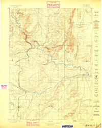
1896 · Hartville
USGS Topo · 1:125,000
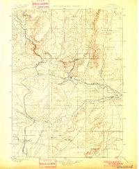
1901 · Hartville
USGS Topo · 1:125,000
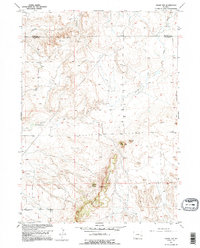
1949 · Cedar Top
USGS Topo · 1:24,000
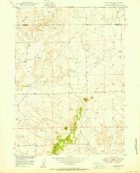
1950 · Cedar Top
USGS Topo · 1:24,000
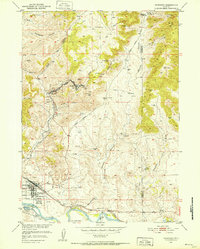
1950 · Guernsey
USGS Topo · 1:24,000
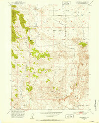
1950 · Casebier Hill
USGS Topo · 1:24,000
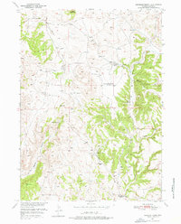
1950 · Haushar Ranch
USGS Topo · 1:24,000
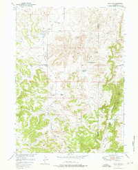
1950 · Hell Gap
USGS Topo · 1:24,000
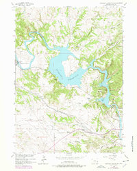
1950 · Guernsey Reservoir
USGS Topo · 1:24,000
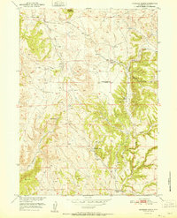
1951 · Haushar Ranch
USGS Topo · 1:24,000