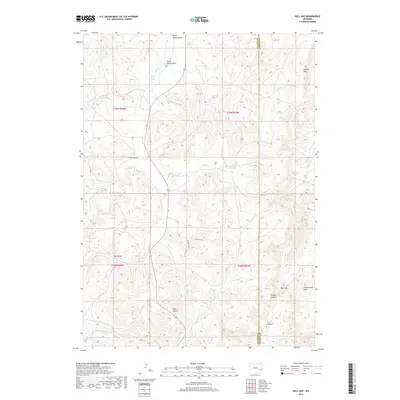
2017 Map of Hell Gap
USGS Topo · Published 2017About this map
Hell Gap and the surrounding high plains of eastern Wyoming define this landscape at the intersection of Platte and Goshen counties. The terrain is marked by a complex network of ephemeral drainages and deep canyons, including Whalen Canyon and Webb Canyon, which cut through the limestone and sandstone ridges of the Wildcat Hills. This area is characterized by vital water sources in a semi-arid environment, such as Patten Creek Spring and Broom Creek Spring, which have historically drawn both wildlife and human activity to these breaks. Several draws carry family or local names, such as Grant Agnew Draw and Sam Draw, reflecting the ranching heritage of the region. The map also delineates local transportation routes that follow these natural contours, including Patten Creek Rd and Kindness Trl, illustrating how human movement remains tied to the underlying topography of the canyonlands.
Find a feature on this map
20 named features on this map. Tap any name to fly to it.
Don’t see what you’re looking for? This feature index may not catch every label — zoom into the map to look around manually.
Map Details
Editions of this 2017 Hell Gap Map
This is the sole edition of this map. No revisions or reprints were ever made.
Other maps of this area
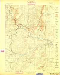
1896 · Hartville
USGS Topo · 1:125,000
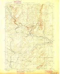
1901 · Hartville
USGS Topo · 1:125,000
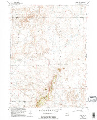
1949 · Cedar Top
USGS Topo · 1:24,000
1950 · Cedar Top
USGS Topo · 1:24,000
1950 · Guernsey
USGS Topo · 1:24,000
1950 · Casebier Hill
USGS Topo · 1:24,000
1950 · Haushar Ranch
USGS Topo · 1:24,000
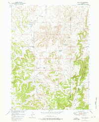
1950 · Hell Gap
USGS Topo · 1:24,000
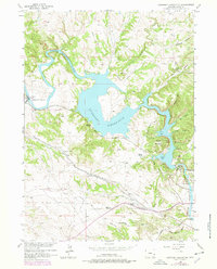
1950 · Guernsey Reservoir
USGS Topo · 1:24,000
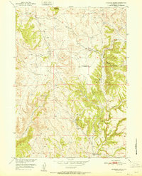
1951 · Haushar Ranch
USGS Topo · 1:24,000