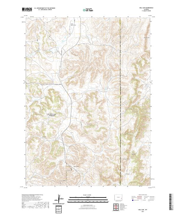
2021 Map of Hell Gap
USGS Topo · Published 2021About this map
The Wildcat Hills dominate the northeastern corner of this corner of Wyoming, where the high plains break into a series of significant canyons and draws along the Platte Co Goshen Co line. The landscape is defined by its drainage patterns, with Broom Cr and Patten Cr cutting through the terrain, supported by reliable water sources like Broom Creek Spring and Patten Creek Spring.
Find a feature on this map
20 named features on this map. Tap any name to fly to it.
Don’t see what you’re looking for? This feature index may not catch every label — zoom into the map to look around manually.
Map Details
Editions of this 2021 Hell Gap Map
This is the sole edition of this map. No revisions or reprints were ever made.
Other maps of this area

1896 · Hartville
USGS Topo · 1:125,000

1901 · Hartville
USGS Topo · 1:125,000

1949 · Cedar Top
USGS Topo · 1:24,000

1950 · Cedar Top
USGS Topo · 1:24,000

1950 · Guernsey
USGS Topo · 1:24,000

1950 · Casebier Hill
USGS Topo · 1:24,000

1950 · Haushar Ranch
USGS Topo · 1:24,000

1950 · Hell Gap
USGS Topo · 1:24,000

1950 · Guernsey Reservoir
USGS Topo · 1:24,000

1951 · Haushar Ranch
USGS Topo · 1:24,000