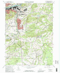
1965 Map of Hellertown
USGS Topo · Published 1992About this map
The Lehigh River and the parallel Lehigh Canal dominate the northern landscape of this survey, marking the industrial and transport corridor between Bethlehem and Freemansburg. To the south, the borough of Hellertown is a focal point of development, featuring the Lost River Caverns and a dense network of neighborhoods like South Terrace. The map illustrates the region's transition from the dense urban and industrial activity near the river to the rural, hilly terrain of Lower Saucon and Springfield townships.
Find a feature on this map
100 named features on this map. Tap any name to fly to it.
Don’t see what you’re looking for? This feature index may not catch every label — zoom into the map to look around manually.
Map Details
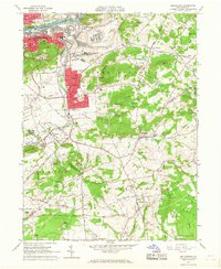
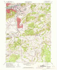
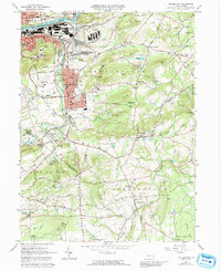
Editions of this 1965 Hellertown Map
4 editions found
Other maps of this area

1888 · Quakertown
USGS Topo · 1:62,500

1890 · Easton
USGS Topo · 1:62,500

1890 · Doylestown
USGS Topo · 1:62,500

1890 · Quakertown
USGS Topo · 1:62,500

1891 · Easton
USGS Topo · 1:62,500

1891 · Doylestown
USGS Topo · 1:62,500

1894 · Allentown
USGS Topo · 1:62,500

1894 · Quakertown
USGS Topo · 1:62,500

1932 · Easton
USGS Topo · 1:62,500

1939 · Allentown
USGS Topo · 1:62,500
Featured Places
- Bethlehem, PA
- Lower Saucon Township, PA
- Durham Township, PA
- Haycock Township, PA
- Specktown, Lower Saucon Township