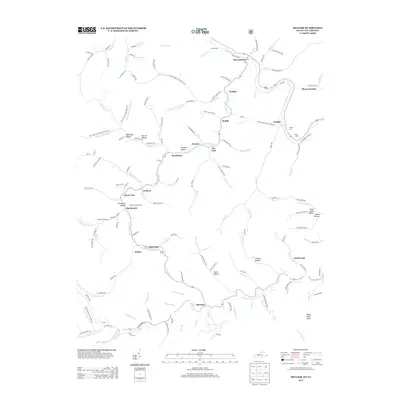
2013 Map of Hellier
USGS Topo · Published 2013About this map
Hellier and its neighboring coal-country settlements define this pocket of Pike County, where narrow hollows and steep ridges dictated the layout of the community. The map reveals a dense network of family and community landmarks, including the Martha Johnson Cem, Wilson Cem, and Bowling Fork Cem, which serve as vital touchstones for genealogical research in the region. The landscape is carved by numerous forks and branches of Marrowbone Cr and Russell Fork, with small hubs like Ashcamp, Wolfpit, and Lookout following the winding valley floors.
Find a feature on this map
148 named features on this map. Tap any name to fly to it.
Don’t see what you’re looking for? This feature index may not catch every label — zoom into the map to look around manually.
Map Details
Editions of this 2013 Hellier Map
This is the sole edition of this map. No revisions or reprints were ever made.
Other maps of this area

1886 · Grundy
USGS Topo · 1:125,000

1890 · Whitesburg
USGS Topo · 1:125,000

1890 · Grundy
USGS Topo · 1:125,000

1892 · Grundy
USGS Topo · 1:125,000

1892 · Whitesburg
USGS Topo · 1:125,000

1912 · Pound
USGS Topo · 1:48,000

1913 · Clintwood
USGS Topo · 1:62,500

1914 · Pound
USGS Topo · 1:62,500

1914 · Vergie
USGS Topo · 1:48,000

1915 · Clintwood
USGS Topo · 1:62,500