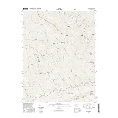
2016 Map of Hellier
USGS Topo · Published 2016About this map
Cumberland Mountain and Pine Mountain define the high-elevation relief of this eastern Kentucky coalfield landscape during the mid-2010s. The settlement pattern follows the narrow valley floors, with communities like Hellier, Ashcamp, and Lookout clustered along the tributary creeks of the Russell Fork river. Family-named landmarks and small burial grounds, such as the Martha Johnson Cem near Henry Clay and the Bowling Fork Cem, provide valuable points of reference for genealogists and local historians tracing the social geography of Pike County.
Find a feature on this map
112 named features on this map. Tap any name to fly to it.
Don’t see what you’re looking for? This feature index may not catch every label — zoom into the map to look around manually.
Map Details
Editions of this 2016 Hellier Map
This is the sole edition of this map. No revisions or reprints were ever made.
Other maps of this area

1886 · Grundy
USGS Topo · 1:125,000

1890 · Whitesburg
USGS Topo · 1:125,000

1890 · Grundy
USGS Topo · 1:125,000

1892 · Grundy
USGS Topo · 1:125,000

1892 · Whitesburg
USGS Topo · 1:125,000

1912 · Pound
USGS Topo · 1:48,000

1913 · Clintwood
USGS Topo · 1:62,500

1914 · Pound
USGS Topo · 1:62,500

1914 · Vergie
USGS Topo · 1:48,000

1915 · Clintwood
USGS Topo · 1:62,500