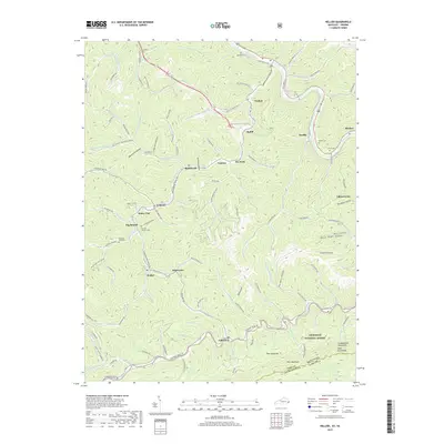
2019 Map of Hellier
USGS Topo · Published 2019About this map
Elkhorn City serves as a prominent landmark on this 2019 survey, situated where the Russell Fork river carves through the steep mountain terrain of the Pike County and Dickenson County borderlands. The landscape is defined by its coal-country settlement pattern, with numerous small communities like Hellier, Ashcamp, and Lookout following the narrow valley floors. Transportation routes are dictated by the topography, with the CSX railroad following the river corridor while local roads like Marrowbone Creek Road wind through deep hollows.
Find a feature on this map
126 named features on this map. Tap any name to fly to it.
Don’t see what you’re looking for? This feature index may not catch every label — zoom into the map to look around manually.
Map Details
Editions of this 2019 Hellier Map
This is the sole edition of this map. No revisions or reprints were ever made.
Other maps of this area

1886 · Grundy
USGS Topo · 1:125,000

1890 · Whitesburg
USGS Topo · 1:125,000

1890 · Grundy
USGS Topo · 1:125,000

1892 · Grundy
USGS Topo · 1:125,000

1892 · Whitesburg
USGS Topo · 1:125,000

1912 · Pound
USGS Topo · 1:48,000

1913 · Clintwood
USGS Topo · 1:62,500

1914 · Pound
USGS Topo · 1:62,500

1914 · Vergie
USGS Topo · 1:48,000

1915 · Clintwood
USGS Topo · 1:62,500