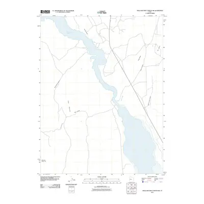
2011 Map of Hells Kitchen Canyon SW
USGS Topo · Published 2011About this map
Sevier Bridge Reservoir dominates the center of this Utah landscape, where the waters of the Sevier River are impounded against the eastern slopes of the Valley Mountains. The shoreline is punctuated by Painted Rocks, a notable point along the reservoir's western edge where the water meets the mouth of Painted Rock Canyon. The terrain is defined by a series of steep drainages including Red Canyon and Hells Kitchen Canyon, which carve through the high ground of Cedar Ridge. Transportation in this arid region is limited to improved routes such as Chris Hollow Rd and State Route 28, which provide access to the expansive open spaces of Dick and Dalton Flat. This 2011 survey captures the hydrological and topographic character of the Sanpete County backcountry, highlighting the complex network of canyons like Timber Canyon and Flat Canyon that feed into the valley floor.
Find a feature on this map
12 named features on this map. Tap any name to fly to it.
Don’t see what you’re looking for? This feature index may not catch every label — zoom into the map to look around manually.
Map Details
Editions of this 2011 Hells Kitchen Canyon SW Map
This is the sole edition of this map. No revisions or reprints were ever made.
Other maps of this area
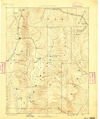
1885 · Manti
USGS Topo · 1:250,000

1885 · Sevier Desert
USGS Topo · 1:250,000
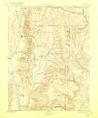
1895 · Manti
USGS Topo · 1:250,000
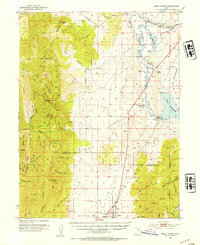
1952 · Scipio North
USGS Topo · 1:62,500

1953 · Delta
USGS Topo · 1:250,000
1956 · Price
USGS Topo · 1:250,000

1958 · Delta
USGS Topo · 1:250,000
1960 · Price
USGS Topo · 1:250,000
1962 · Price
USGS Topo · 1:250,000

1962 · Delta
USGS Topo · 1:250,000