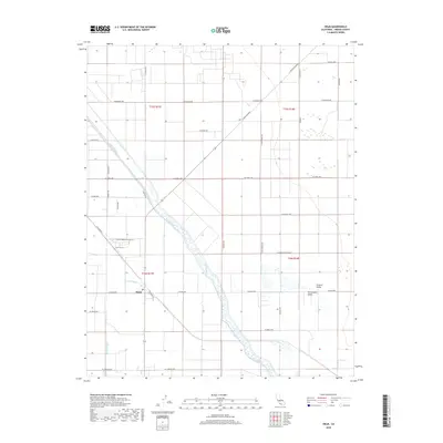
2018 Map of Helm
USGS Topo · Published 2018About this map
Helm sits at a critical hydraulic junction in the San Joaquin Valley, where the managed waters of the James Bypass and Fish Slough converge into the Fresno Slough. This 2018 survey reveals an intensely engineered agricultural landscape in the heart of the Central Valley, defined by a rigid grid of section-line roads and irrigation infrastructure. The path of the slough, though channelized, still dictates the local geography, cutting a diagonal swath through the rectangular sections of Fresno County. To the west, the Stinson Canal runs parallel to the primary drainage, supporting the vast ranching and farming operations that dominate the area. The map illustrates the contemporary rural infrastructure of the region, from the long stretches of S Mcmullin Grade and Colorado Rd to the small settlement core at Helm, which serves as a central hub for the surrounding agricultural community.
Find a feature on this map
34 named features on this map. Tap any name to fly to it.
Don’t see what you’re looking for? This feature index may not catch every label — zoom into the map to look around manually.
Map Details
Editions of this 2018 Helm Map
This is the sole edition of this map. No revisions or reprints were ever made.
Other maps of this area
1912 · Coalinga
USGS Topo · 1:125,000
1923 · Kearney Park
USGS Topo · 1:31,680
1924 · Jamesan
USGS Topo · 1:31,680
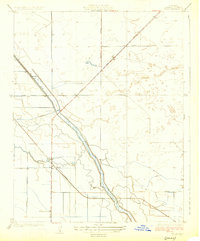
1925 · Helm
USGS Topo · 1:31,680
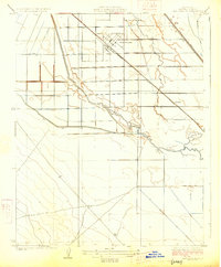
1925 · San Joaquin
USGS Topo · 1:31,680
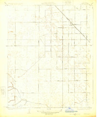
1925 · Raisin
USGS Topo · 1:31,680
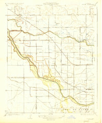
1927 · Burrel
USGS Topo · 1:31,680
1931 · Wheatville
USGS Topo · 1:31,680
1931 · Towne Oil Station
USGS Topo · 1:31,680
1946 · Kearney Park
USGS Topo · 1:24,000