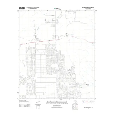
2012 Map of Helms West Well
USGS Topo · Published 2012About this map
Butterfield serves as the primary residential anchor in this high desert landscape east of El Paso, where a dense grid of modern streets contrasts sharply with the arid terrain. The map captures a moment of suburban expansion alongside historic transit corridors, most notably the Overland Stage Rd and Hueco Tanks Rd. To the east, the terrain breaks into a series of drainage systems and canyons, including Pow Wow Canyon, Martin Canyon, and Phone Line Canyon. These features, along with several water catchments like Dugout Tank and Neals Tank, reflect the essential infrastructure required for survival and ranching in this environment. The presence of the Helms West Well near Fourmile Draw further illustrates the historical and practical importance of water access in shaping the settlement patterns of this corner of El Paso County.
Find a feature on this map
39 named features on this map. Tap any name to fly to it.
Don’t see what you’re looking for? This feature index may not catch every label — zoom into the map to look around manually.
Map Details
Editions of this 2012 Helms West Well Map
This is the sole edition of this map. No revisions or reprints were ever made.
Other maps of this area
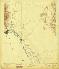
1896 · El Paso
USGS Topo · 1:125,000
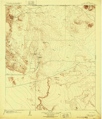
1903 · Cerro Alto
USGS Topo · 1:125,000
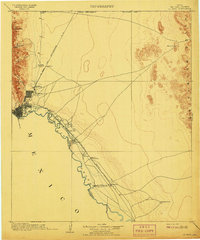
1908 · El Paso
USGS Topo · 1:125,000
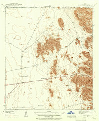
1939 · Heuco Tanks
USGS Topo · 1:62,500
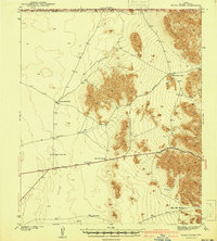
1940 · Heuco Tanks
USGS Topo · 1:62,500
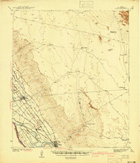
1941 · Clint
USGS Topo · 1:62,500
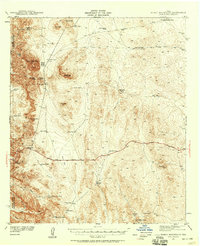
1941 · Heuco Mountains
USGS Topo · 1:62,500
1942 · Borrego
USGS Topo · 1:62,500
1943 · Heuco Mountains
USGS Topo · 1:62,500
1944 · Heuco Tanks
USGS Topo · 1:62,500
Featured Places
- Butterfield, TX
- Butterfield City Number 1 Colonia, TX
- Butterfield City Number 2 Colonia, TX
- Butterfield City Number 3 Colonia, TX
- Butterfield City Number 4 Colonia, TX