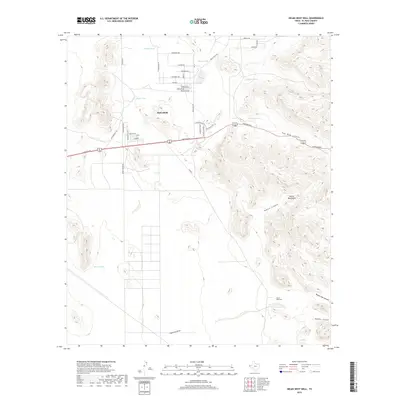
2019 Map of Helms West Well
USGS Topo · Published 2019About this map
Butterfield serves as the primary residential anchor in this high-desert landscape, positioned along the vital artery of Montana Ave. The settlement's street grid, including names like Gunsmoke Ave and Archuleta Dr, transitions sharply into the arid expanses of the Hueco Mountains to the east. Water management is the defining characteristic of this terrain, evidenced by a network of artificial catchments such as Mikes Tank, Dugout Tank, and Martin Tank, which are critical for sustaining life and livestock in the Chihuahuan Desert environment.
Find a feature on this map
44 named features on this map. Tap any name to fly to it.
Don’t see what you’re looking for? This feature index may not catch every label — zoom into the map to look around manually.
Map Details
Editions of this 2019 Helms West Well Map
This is the sole edition of this map. No revisions or reprints were ever made.
Other maps of this area
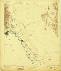
1896 · El Paso
USGS Topo · 1:125,000
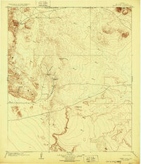
1903 · Cerro Alto
USGS Topo · 1:125,000
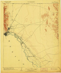
1908 · El Paso
USGS Topo · 1:125,000
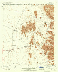
1939 · Heuco Tanks
USGS Topo · 1:62,500
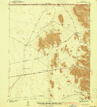
1940 · Heuco Tanks
USGS Topo · 1:62,500
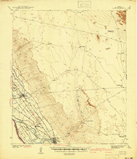
1941 · Clint
USGS Topo · 1:62,500
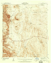
1941 · Heuco Mountains
USGS Topo · 1:62,500
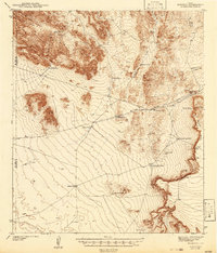
1942 · Borrego
USGS Topo · 1:62,500
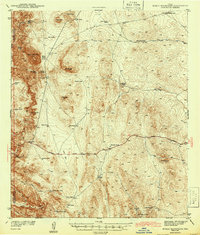
1943 · Heuco Mountains
USGS Topo · 1:62,500
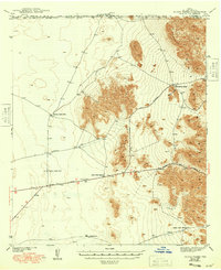
1944 · Heuco Tanks
USGS Topo · 1:62,500
Featured Places
- Butterfield, TX
- Butterfield City Number 1 Colonia, TX
- Butterfield City Number 2 Colonia, TX
- Butterfield City Number 3 Colonia, TX
- Butterfield City Number 4 Colonia, TX