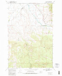
1968 Map of Helmville
USGS Topo · Published 1980About this map
Helmville sits as the central point of interest in this 1968 landscape, where ranching and water management define the valley floor. The map illustrates a complex irrigation network essential for high-altitude agriculture, featuring the Douglas Creek Canal and Canarway Canal alongside natural waterways like Nevada Creek and Lincoln Slough. These man-made channels diverge from the natural flow of Douglas Creek to support the surrounding acreage.
Find a feature on this map
26 named features on this map. Tap any name to fly to it.
Don’t see what you’re looking for? This feature index may not catch every label — zoom into the map to look around manually.
Map Details
Editions of this 1968 Helmville Map
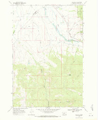
2 editions found
Other maps of this area

1889 · Helena
USGS Topo · 1:250,000

1893 · Helena
USGS Topo · 1:250,000

1899 · Helena
USGS Topo · 1:250,000

1903 · Helena
USGS Topo · 1:250,000

1919 · Drummond
USGS Topo · 1:125,000

1921 · Drummond
USGS Topo · 1:125,000

1947 · Butte
USGS Topo · 1:250,000

1958 · Butte
USGS Topo · 1:250,000

1958 · Drummond
USGS Topo · 1:62,500

1958 · Garrison
USGS Topo · 1:62,500