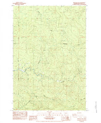
1984 Map of Hemlock Pass
USGS Topo · Published 1984About this map
Hemlock Pass serves as a central landmark in this portion of Cowlitz County, where the terrain is defined by a dense network of drainage systems feeding the Coweeman River. The landscape reveals a pattern of industrial land use, notably indicated by several Borrow Pit excavations situated near the ridgelines. Waterways like Hemlock Creek and Mulholland Creek carve through the high elevations, illustrating the complex watershed geography of the Pacific Northwest.
Find a feature on this map
11 named features on this map. Tap any name to fly to it.
Don’t see what you’re looking for? This feature index may not catch every label — zoom into the map to look around manually.
Map Details
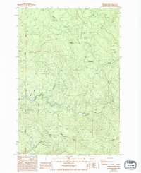
Editions of this 1984 Hemlock Pass Map
2 editions found
Other maps of this area

1921 · Kalama
USGS Topo · 1:62,500

1941 · Olequa
USGS Topo · 1:62,500

1942 · Toutle
USGS Topo · 1:62,500

1943 · Pigeon Springs
USGS Topo · 1:62,500

1953 · Hoquiam
USGS Topo · 1:250,000

1953 · Toutle
USGS Topo · 1:62,500

1953 · Castle Rock
USGS Topo · 1:62,500

1953 · Mt. Brynion
USGS Topo · 1:24,000

1953 · Pigeon Springs
USGS Topo · 1:62,500
1953 · Kalama
USGS Topo · 1:24,000