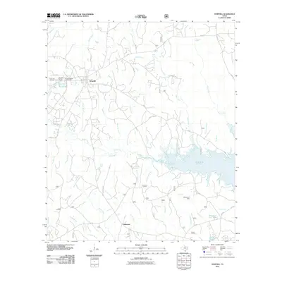
2010 Map of Hemphill
USGS Topo · Published 2010About this map
Hemphill serves as the focal point of this Sabine County survey, positioned amidst a network of creeks and bayous that define the East Texas landscape. The town's infrastructure is detailed alongside water management features like City Lake Number 1 Dam and City Lake Number-2. Further south, the settlement of Yellowpine is marked by the Yellowpine Ranger District Office and the Yellowpine Lookout, reflecting the importance of forest management in the region.
Find a feature on this map
55 named features on this map. Tap any name to fly to it.
Don’t see what you’re looking for? This feature index may not catch every label — zoom into the map to look around manually.
Map Details
Editions of this 2010 Hemphill Map
This is the sole edition of this map. No revisions or reprints were ever made.
Other maps of this area

1944 · Negreet
USGS Topo · 1:62,500

1944 · Wiergate
USGS Topo · 1:62,500

1948 · Wiergate
USGS Topo · 1:62,500

1953 · Alexandria
USGS Topo · 1:250,000

1954 · Columbus
USGS Topo · 1:24,000

1954 · Fairdale
USGS Topo · 1:24,000

1954 · Negreet
USGS Topo · 1:62,500

1954 · Wiergate
USGS Topo · 1:62,500

1954 · Salter Creek
USGS Topo · 1:24,000

1955 · Alexandria
USGS Topo · 1:250,000